Steamboat Smashes Record High as Heat Dome Intensifies Western Slope Drought
Steamboat Springs recorded a record-breaking 98-degree day as a regional heat dome intensified drought conditions. Scientists attribute the extreme warmth to climate change, noting it is five times more likely than historical averages.
Glenwood Springs —The thermometer in Steamboat hit 98 degrees on Monday. That number broke a record for that specific weather station, one with over 120 years of data. It wasn’t an isolated incident. Across the region, several mountain towns smashed their own daily high records. Salt Lake City saw its hottest temperature in 150 years. Montana hit an all-time state high.
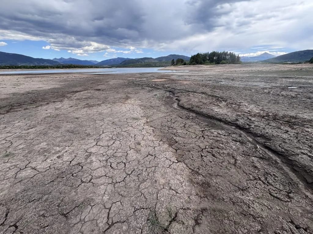
This wasn’t just a warm weekend. It was a heat dome, a ridge of high pressure, settling over the West and parts of the northern U.S. Temperatures soared 10 to 15 degrees above normal. The result? Drier soils. Stressed water resources. Record-low mountain stream flows dropping even lower.
Peter Goble, Colorado State Assistant Climatologist, put it plainly. “It’s definitely not just a feeling that recent summers have been consistently warmer than historical averages.”
Neighbors might feel it in their bones. The data confirms it. Since 1980, summers statewide have warmed by roughly 2.5 degrees Fahrenheit on average. The Colorado Climate Center tracks this. The cause is the burning of fossil fuels. Heat-trapping gases are trapped in the atmosphere. The planet is warming.
In Colorado, the streak is unbroken. No summer in the past 17 years has been cooler than the 20th-century average. Goble noted that this year’s record-breaking heatwaves are hitting ground already weakened by the hottest winter and worst snowpack on record. The dryness spreads faster. Fire risk climbs higher.
Climate Central, a nonprofit, mapped the influence of this specific heat dome. Their daily attribution tool, the Climate Shift Index, applies peer-reviewed forecasting methodology. The conclusion is stark. Across Colorado’s Western Slope, the hot weather this week was made at least five times more likely by climate change.
Zachary Labe, a climate scientist at Climate Central, watched the compounding effects unfold. “The latest heat dome is now making the drought even worse by further drying soils, stressing water resources, and pushing already record-low mountain stream flows even lower,” Labe said. “This is the kind of compounding extremes we expect in a warming climate, as climate change makes summer heat more intense.”
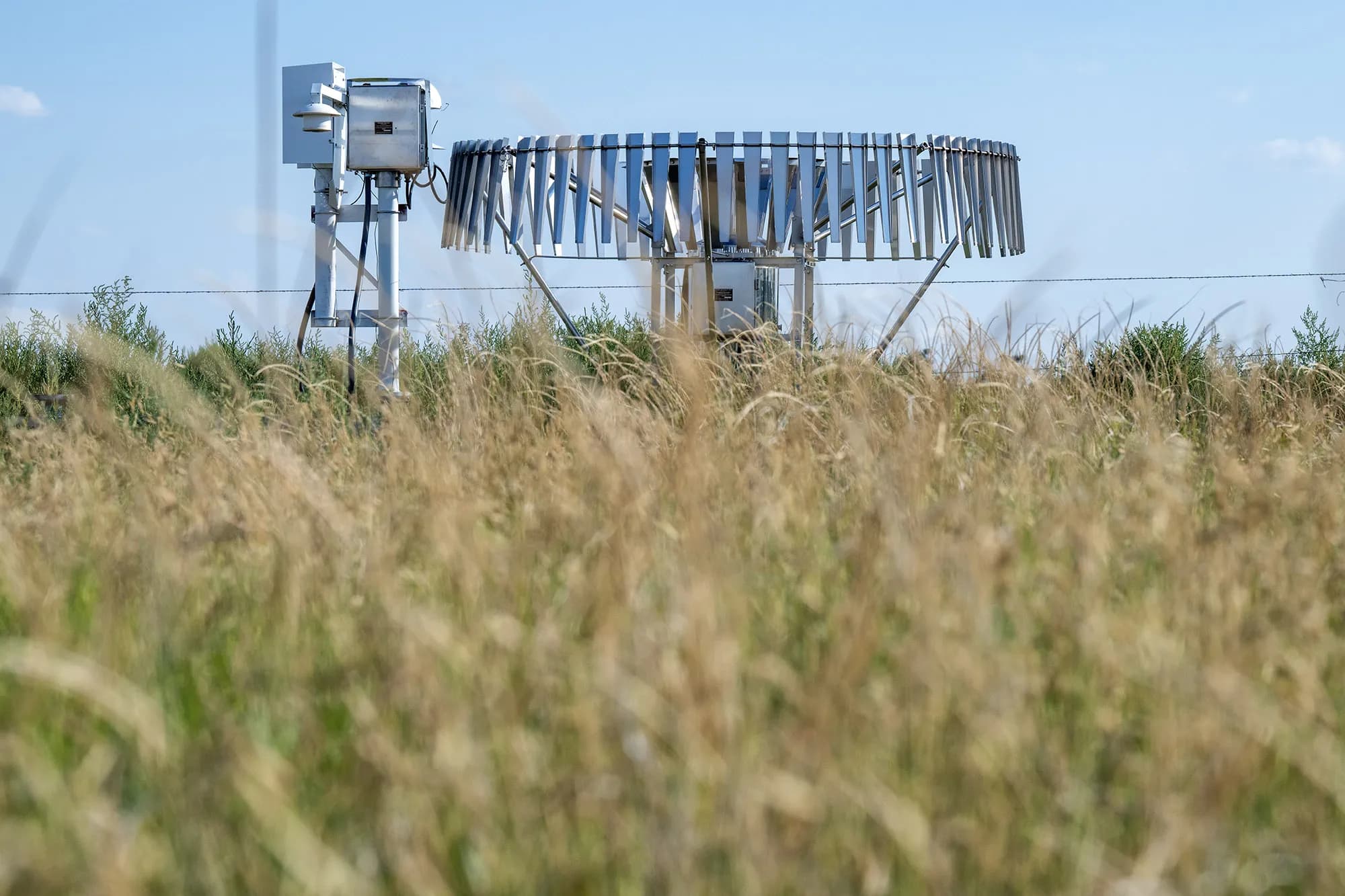
Kris Sanders, a National Weather Service forecaster, confirmed the local impact. While Colorado didn’t break all-time state records like Montana did, the area came close. Several mountain towns broke daily highs. Sanders pointed to the weather station in Steamboat as the clearest example of the shift.
The graphic from the Colorado Climate Center tells the rest of the story. Above-average temperatures and below-average precipitation since October have created extreme drought conditions across the state. Hot temperatures intensify droughts. And climate change is making those hot temperatures more common.
The short version? The heat is real. The trend is up. The water is lower.
Goble warned that the above-average warmth is worsening drought and fire risk by drying things out even quicker. Locals relying on snowmelt for summer irrigation are feeling the pinch. The snowpack was already record-low. The heat drained it faster.
Sanders said places on the Western Slope came close to breaking all-time records. They didn’t quite make it this time. But the margin for error is shrinking. The heat dome centered over the region. It held there. It baked the land.
The scientific consensus is overwhelming. Human-caused climate change is the driver. It’s not a future threat. It’s a current condition. The heatwaves are more intense. The droughts are deeper. The water is gone.
Read that again. Five times more likely. That’s the number from Climate Central for the Western Slope. It’s not a guess. It’s a calculation based on the latest forecasting models. The heat didn’t just happen. It was engineered by the atmosphere, thickened by carbon.
The community is watching. The stream flows are dropping. The fire danger is rising. The next heatwave is coming. It will be hotter. It will be longer. And it will be harder to ignore.
Keep up with Glenwood Springs
The day's Western Slope news, one email each morning. Free.