Fall Hiking · Durango, CO
Andrews Lake Trailhead
Before you go
Live · nearest station Telluride, 15 miStorms build later today. Plan an early finish.
Chance of Rain
Feels like 44°
Trailhead temp
39° est. at 10,760 ft
Storm chance
58% tonight
Wind
5 mph ESE
Distance
—
Elevation gain
—
High point
10,760ft
Season
Sep - Novin season
About
The Andrews Lake Trailhead sits on US 550 near Silverton, Colorado, approximately 40 miles north of Durango. Access is via a signed turnoff at Molas Pass (elevation 10,899 ft) or from the Coalbank Pass side. The trailhead features a paved, one-lane road leading to a lower day-use parking area and a higher lot for backpackers. Amenities include vault toilets, picnic tables, and primitive camping in the upper lot. The primary route is the Andrews Lake Loop, a 0.8-mile trail around the lake. While primarily a summer hiking and winter cross-country skiing destination, fall hiking is viable, though conditions may be muddy during shoulder seasons. The trail is generally considered easy to moderate and is suitable for all skill levels.
Trail profile
Gain
—
Avg grade
—
Steepest
—
High point
10,760 ft
Good to know
Parking at the trailhead
Restrooms available
Dogs allowed on leash
Waypoints
No waypoints mapped for this trail yet.
What people say
Reviews
No reviews yet
Been here? Help the next person out.
Within 30 miles
Nearby spots
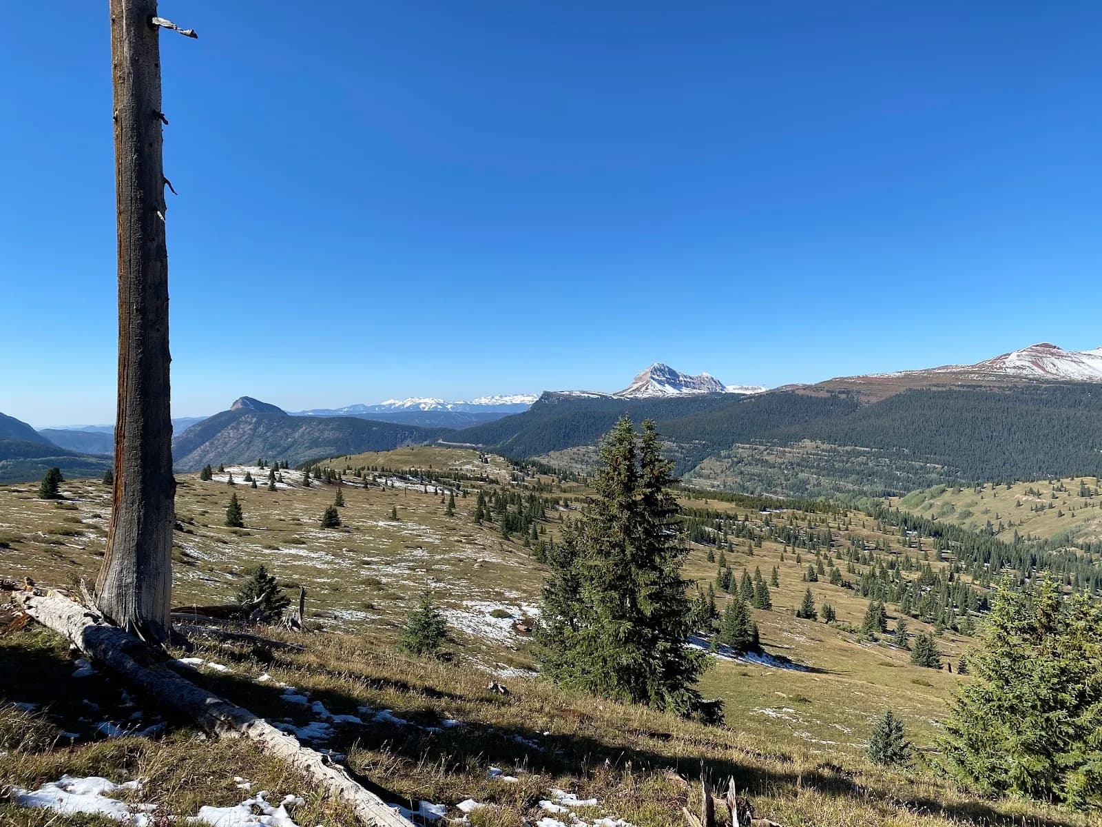
Colorado Trail Segment 25 Trailhead
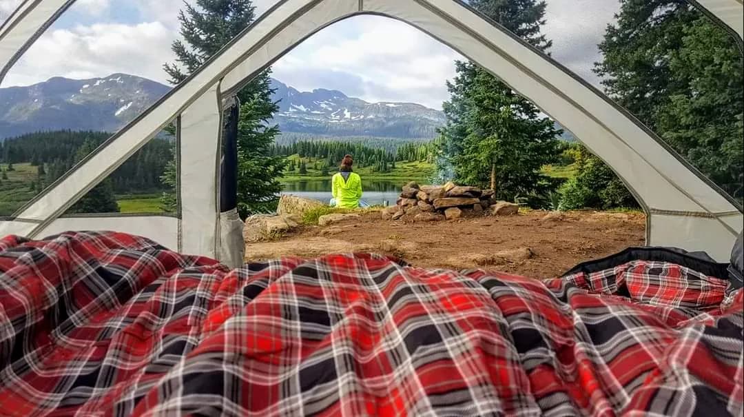
Little Molas Lake