Hiking · Durango, CO
Birket Connector 1
Before you go
Live · nearest station Durango, 0 miGood window today. Daylight to 6:28 pm.
Thunderstorms
Feels like 60°
Storm chance
37% tonight
Wind
0 mph
UV index
0 low
Sun window
7:23 am to 6:28 pm
Animas River at Durango is running 1,190 cfs and falling, water 49°.
Distance
—
Elevation gain
—
High point
6,534ft
Season
Jan - Dec
About
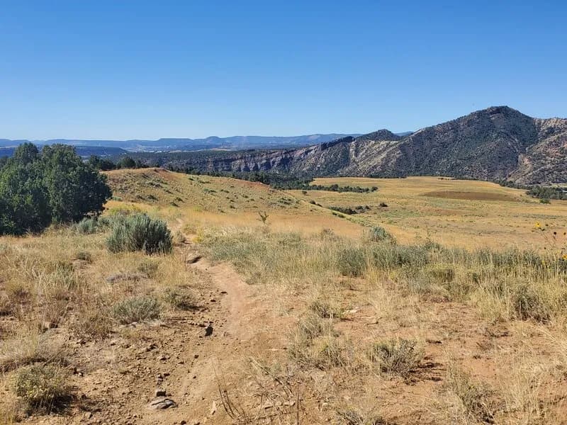
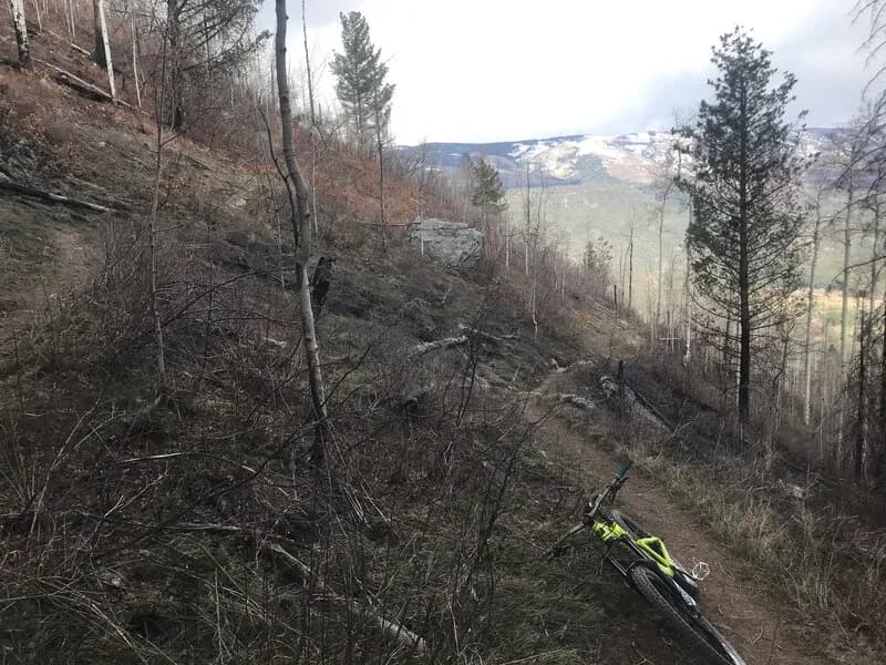
Birket Connector 1 is a short, moderate hiking trail located in Durango, Colorado. The trail functions as a connector route, typically measuring between 0.5 and 0.6 miles in length. Elevation ranges from approximately 6,500 to 6,900 feet, with a total elevation gain of roughly 200 to 470 feet depending on the specific segment and source. The surface consists of singletrack terrain that is generally easy to follow. The trail is open to hikers, dogs on leashes, bicycles, and horses, though motorcycles and ATVs are not permitted. Parking is available at the trailhead. Conditions vary by season, with snow and ice possible in winter and dry, rocky sections in warmer months. The trail is accessible year-round. Recent reports indicate the trail is located within the Dalla Mountain Park area and is managed by the City of Durango.
Trail profile
Gain
—
Avg grade
—
Steepest
—
High point
6,534 ft
Good to know
Parking at the trailhead
Waypoints
Latest trail reportgood
Spring conditions with some muddy sections. Trail is generally in good shape.
Reported Mar 2, 2025Verified
What people say
Reviews
No reviews yet
Been here? Help the next person out.
Within 30 miles