Fall Hiking · Delta, CO
Birthday Canyon Trailhead
Before you go
Live · nearest station Delta County, 2 miGood window today. Daylight to 7:06 pm.
Cloudy
Feels like 68°
Storm chance
17% tonight
Wind
5 mph W
UV index
0.1 low
Sun window
7:00 am to 7:06 pm
Uncompahgre River at Delta is running 416 cfs, water 62°.
Distance
—
Elevation gain
—
High point
5,091ft
Season
Sep - Novin season
About
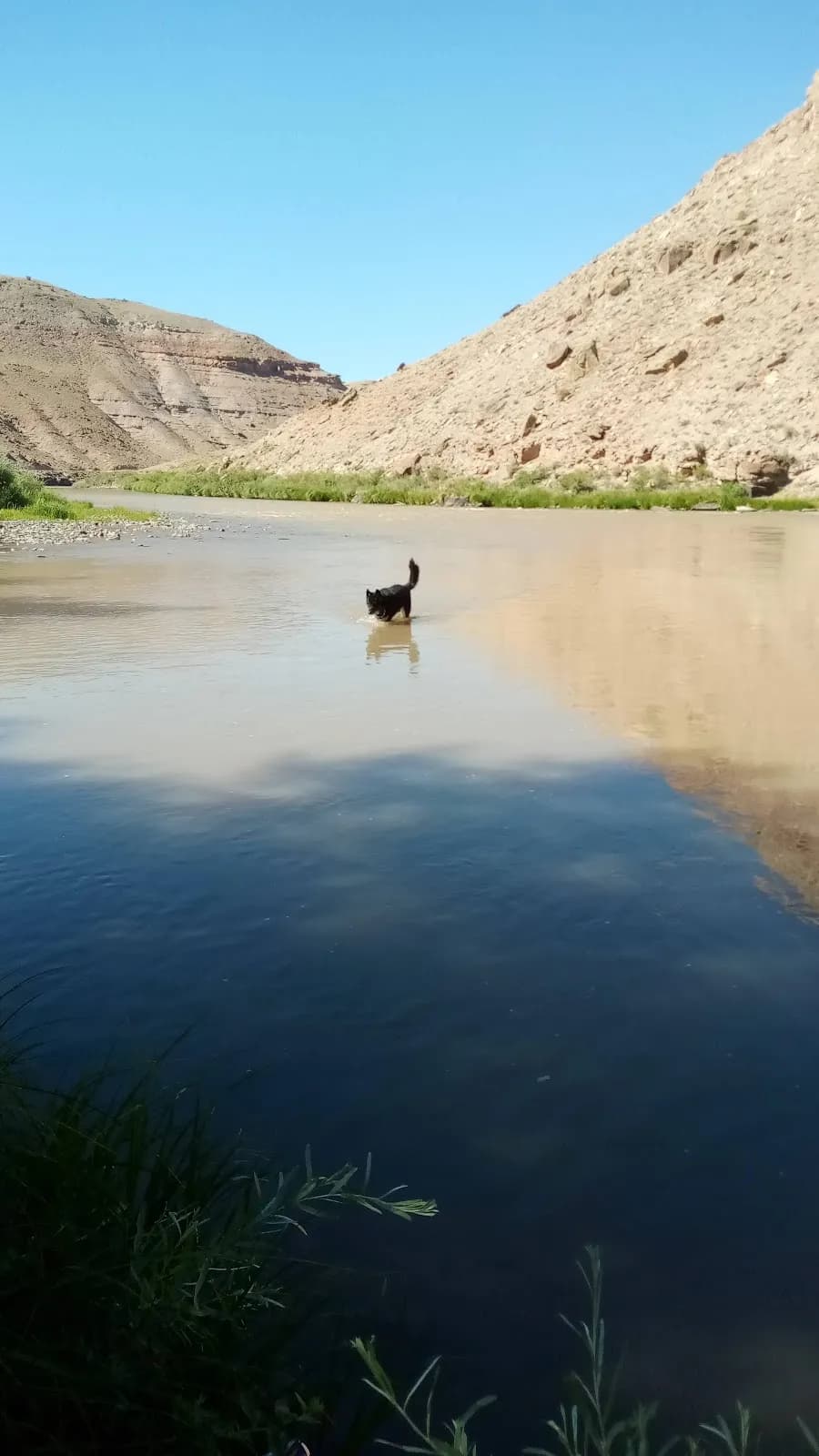
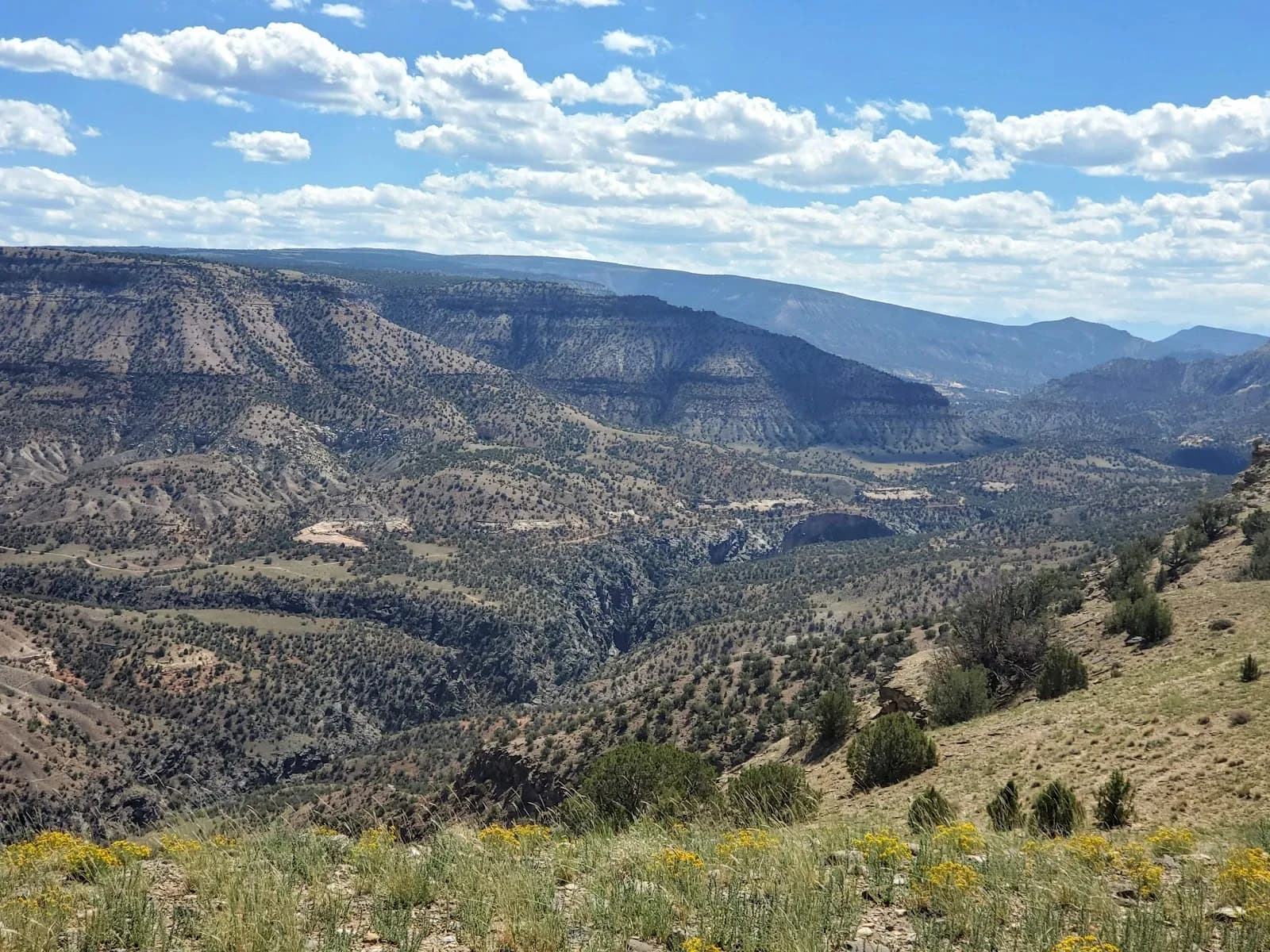
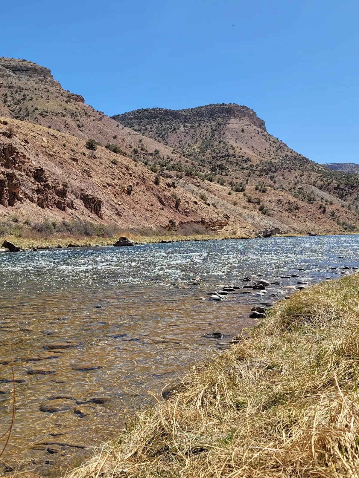
The Birthday Canyon Trailhead in Delta, Colorado, serves as the access point for a moderate 2.25-mile loop through the Gunnison Gorge National Conservation Area. The route begins near the parking area by the Gunnison River and follows the canyon bottom, rising approximately 853 feet to an elevation range of 5,097 to 5,950 feet. Hikers typically complete the trail in about 28 minutes to two hours, depending on pace and whether they choose the full loop or an out-and-back segment. The trail is open to dogs, hikers, and horses but does not allow bikes or motorcycles. Facilities include parking and restrooms at the trailhead. The area is best visited from September through November, offering stable conditions for fall hiking. While the terrain can be uneven with potential obstacles, the path is generally well-defined. The trailhead provides access to other nearby points such as Sun Cliff Canyon, Cool Rock Canyon, and Smith Mountain Saddle. The location is managed by the BLM Uncompahgre Field Office.
Trail profile
Gain
—
Avg grade
—
Steepest
—
High point
5,091 ft
Good to know
Parking at the trailhead
Restrooms available
Dogs allowed on leash
Waypoints
No waypoints mapped for this trail yet.
What people say
Reviews
No reviews yet
Been here? Help the next person out.
Within 30 miles