Hiking · Telluride, CO
Boomerang Trail
Before you go
Live · nearest station Telluride, 2 miStorms are likely above treeline by the afternoon. Start early and be off the ridge by midday.
Thunderstorms
Feels like 55°
Trailhead temp
46° est. at 11,219 ft
Storm chance
66% afternoon
Wind
5 mph NW
Distance
1.1mi round trip
Elevation gain
878ft
High point
11,219ft
Season
Jan - Dec
About
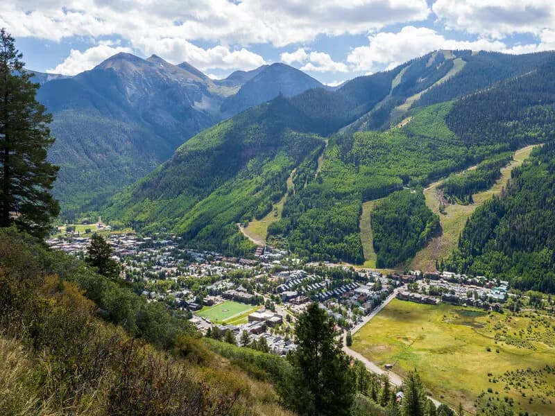
The Boomerang Trail is a one-way, steep hiking and biking route in Telluride, Colorado, connecting the valley floor to Mountain Village. The trail ascends through National Forest land from the west end of the River Trail, turning south to reach Country Club Drive in Mountain Village. The total distance is approximately one mile one-way, with some sources citing a 1.6-mile out-and-back length or 2.6-kilometer round trip. The route is generally considered moderately to difficult due to its steep grade and rocky surface. Elevation at the upper end reaches 9,381 to 11,219 feet. The trail is popular for commuting and recreation, with parking available at the trailhead. It remains accessible year-round, though conditions vary from icy and snowy in winter to warm in summer. The optimal visiting period is April through September. Dogs are permitted on leash. At the Mountain Village end, hikers can access a short path to the gondola for free transport back to Telluride.
Trail profile
Gain
878 ft
Avg grade
15%
Steepest
14%
High point
11,219 ft
Good to know
Parking at the trailhead
Waypoints
Latest trail reportgood
Trail is in good condition. No significant obstacles or hazards reported.
Reported Mar 2, 2025Verified
What people say
Reviews
No reviews yet
Been here? Help the next person out.
Within 30 miles