Fall Hiking · Salida, CO
Browns Canyon National Monument
Before you go
Live · nearest station Gunnison, 49 miStorms build later today. Plan an early finish.
Thunderstorms
Feels like 58°
Storm chance
57% tonight
Wind
5 mph N
UV index
0 low
Sun window
6:53 am to 6:59 pm
Distance
—
Elevation gain
—
High point
7,702ft
Season
Sep - Novin season
About
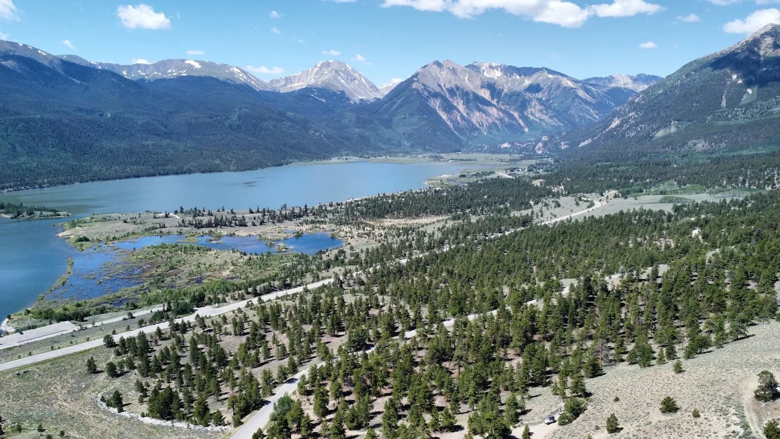
Browns Canyon National Monument lies between Salida and Buena Vista along the Arkansas River. The area spans 21,586 acres of granite canyons and backcountry forests. Fall hiking offers pleasant temperatures and aspen foliage. The terrain is rugged and exposed. Trails include the Turret Trail loop and the Few Dollars More loop. The Turret Trail is approximately 3 miles long. It takes about 1 hour 30 minutes to complete. The Few Dollars More loop is shorter with minimal elevation gain. Hiking difficulty ranges from easy to strenuous depending on the route. The Catkin Gulch Loop is a 13.8-mile difficult hike. Dogs are permitted on trails but must be leashed. Parking is available at trailheads. There is no main visitor center inside the monument. Visitors should go to the Arkansas Headwaters Recreation Area Visitor Center in Salida for maps and information. The climate is dry. Bring water, sun protection, and layers. Wildlife includes mule deer, bighorn sheep, elk, and black bears. The area is free to enter.
Trail profile
Gain
—
Avg grade
—
Steepest
—
High point
7,702 ft
Good to know
Parking at the trailhead
Restrooms available
Dogs allowed on leash
Waypoints
No waypoints mapped for this trail yet.
What people say
Reviews
No reviews yet
Been here? Help the next person out.
Within 30 miles
Nearby spots
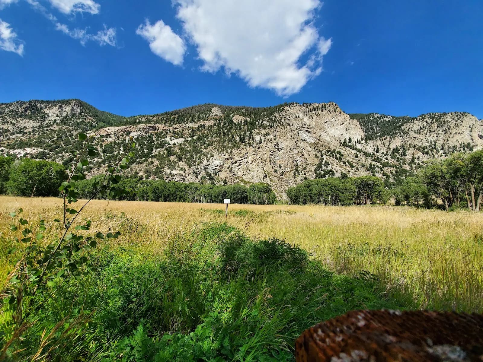
Love Meadow Watchable Wildlife Area
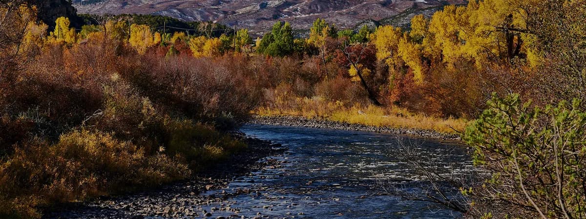
Taylor River