Mountain Biking · Aspen, CO
Burlingame Paved Path
Before you go
Live · nearest station Aspen, 0 miGood window today. Daylight to 8:08 pm.
Thunderstorms
Feels like 78°
Storm chance
20% afternoon
Wind
5 mph W
UV index
2.1 low
Sun window
6:17 am to 8:08 pm
Distance
—
Elevation gain
—
High point
7,890ft
Season
Apr - Octpeak now
About
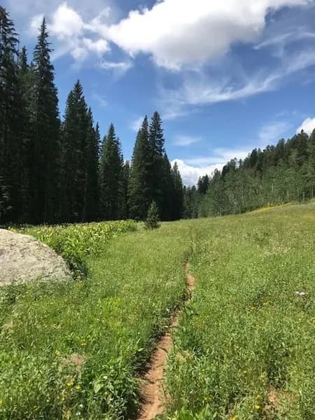
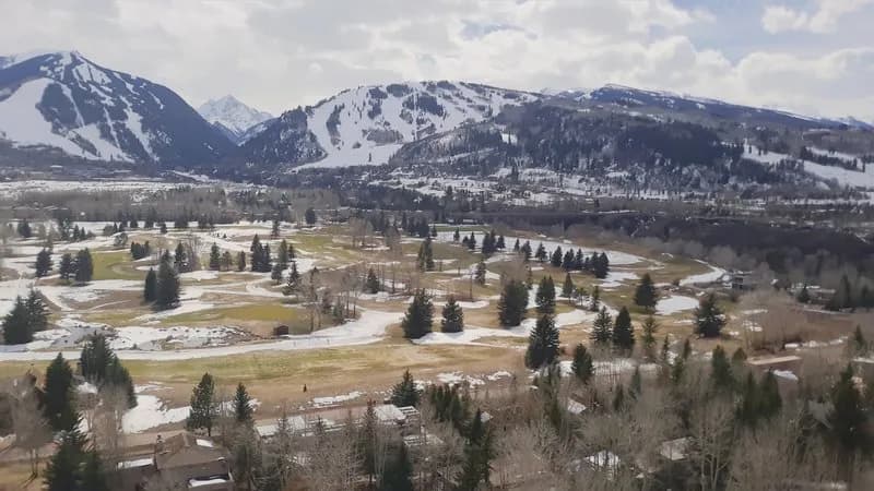
The Burlingame Paved Path is a 0.5-mile paved route in Aspen, Colorado, situated at an elevation of approximately 7,890 feet. It is classified as easy and serves primarily as a connector trail or alternate route within the local mountain biking network. The path is open for riding from April through October, depending on snow conditions and maintenance. Parking is available near the trailhead, and the route permits pets. The surface is smooth and relatively flat, making it suitable for riders of all skill levels who prefer a leisurely ride over technical challenges. While the main paved path is easy, nearby connections such as the Burlingame Connector offer more demanding singletrack options for those seeking steep or technical sections. The trail is frequently used by hikers, runners, and road cyclists in addition to mountain bikers.
Trail profile
Gain
—
Avg grade
—
Steepest
—
High point
7,890 ft
Good to know
Parking at the trailhead
Dogs allowed on leash
Waypoints
Latest trail reportfair
Spring conditions. Trail may be muddy after recent rain. Check trail status before riding.
Reported Mar 2, 2025Verified
What people say
Reviews
No reviews yet
Been here? Help the next person out.
Within 30 miles