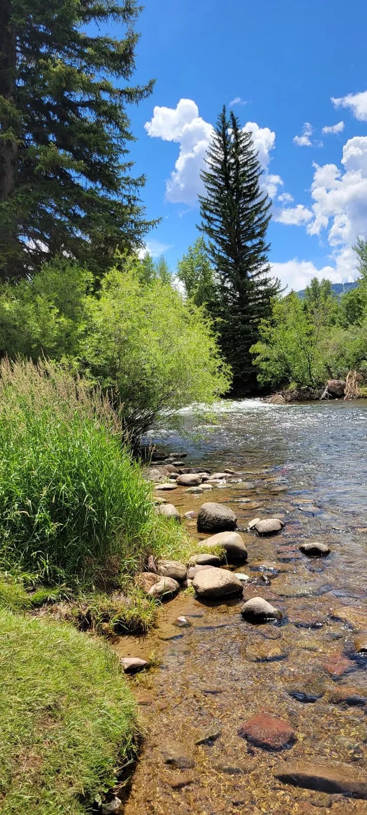
Fall Hiking · Aspen, CO
Buttermilk/HighlandsView- red butte park
Before you go
Live · nearest station Aspen, 1 miGood window today.
Mostly Clear
Feels like 36°
Storm chance
2% overnight
Wind
5 mph SSE
Distance
—
Elevation gain
—
High point
7,889ft
Season
Sep - Novin season
About
The Red Butte Trail in Aspen, Colorado, is a moderate single-track hike located approximately 2.5 miles from downtown. The trail ascends the Red Butte geographical uplift, reaching a maximum elevation of 8,245 feet with roughly 547 feet of vertical gain. Hikers traverse loose dirt and rock surfaces that can be slippery, particularly on the descent. The route offers panoramic views of the Roaring Fork Valley and is named for the reddish Maroon Formation geology. Fall hiking occurs from September through November, providing opportunities to view aspen foliage in yellow and red hues. The trail typically takes about 2 hours to complete, with a total distance of approximately 0.6 miles one way or 1.2 to 2 miles round trip depending on the specific route taken. Parking is available at the trailhead, and pets are permitted.
Trail profile
Gain
—
Avg grade
—
Steepest
—
High point
7,889 ft
Good to know
Parking at the trailhead
Restrooms available
Dogs allowed on leash
Waypoints
No waypoints mapped for this trail yet.
What people say
Reviews
No reviews yet
Been here? Help the next person out.
Within 30 miles