Fall Hiking · Snowmass, CO
Capitol Creek Trailhead
Before you go
Live · nearest station Aspen, 14 miStorms are nearly certain tonight. Not a day for exposed ground.
Thunderstorms
Feels like 54°
Trailhead temp
49° est. at 9,455 ft
Storm chance
89% tonight
Wind
5 mph SE
UV index
0 low
Sun window
6:58 am to 7:02 pm
Distance
—
Elevation gain
—
High point
9,455ft
Season
Sep - Novin season
About
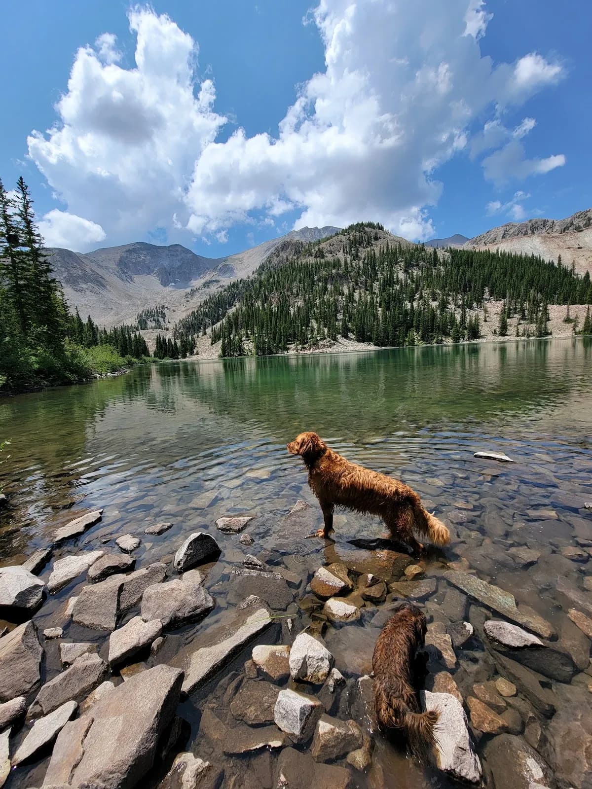
The Capitol Creek Trailhead in Snowmass, Colorado, offers a moderate fall hiking experience with an elevation of 9,455 feet. The trail typically takes about two hours to complete and is accessible from September through November. Parking is available at the trailhead, and pets are permitted on the route. The initial section descends steeply, losing 600 feet in elevation within the first half mile before crossing Capitol Creek. The trail parallels the creek through forest and meadows, with views of Capitol Peak visible from the start. Hikers cross into the Maroon Bells-Snowmass Wilderness after approximately one mile. For those continuing to Capitol Lake, advance reservation permits and bear canisters are required for overnight stays. The trail is dog friendly and suitable for day hikers seeking a classic route deep into the wilderness.
Trail profile
Gain
—
Avg grade
—
Steepest
—
High point
9,455 ft
Good to know
Parking at the trailhead
Restrooms available
Dogs allowed on leash
Waypoints
No waypoints mapped for this trail yet.
What people say
Reviews
No reviews yet
Been here? Help the next person out.
Within 30 miles
Nearby spots
Maroon Snowmass Trailhead
Breathtaker Alpine Coaster