Fall Hiking · Durango, CO
Cascade Creek Trailhead
Before you go
Live · nearest station Telluride, 15 miStorms are likely above treeline tonight. Start early and be off the ridge by midday.
Chance of Rain
Feels like 44°
Trailhead temp
37° est. at 11,213 ft
Storm chance
50% tonight
Wind
5 mph ESE
Distance
—
Elevation gain
—
High point
11,213ft
Season
Sep - Novin season
About
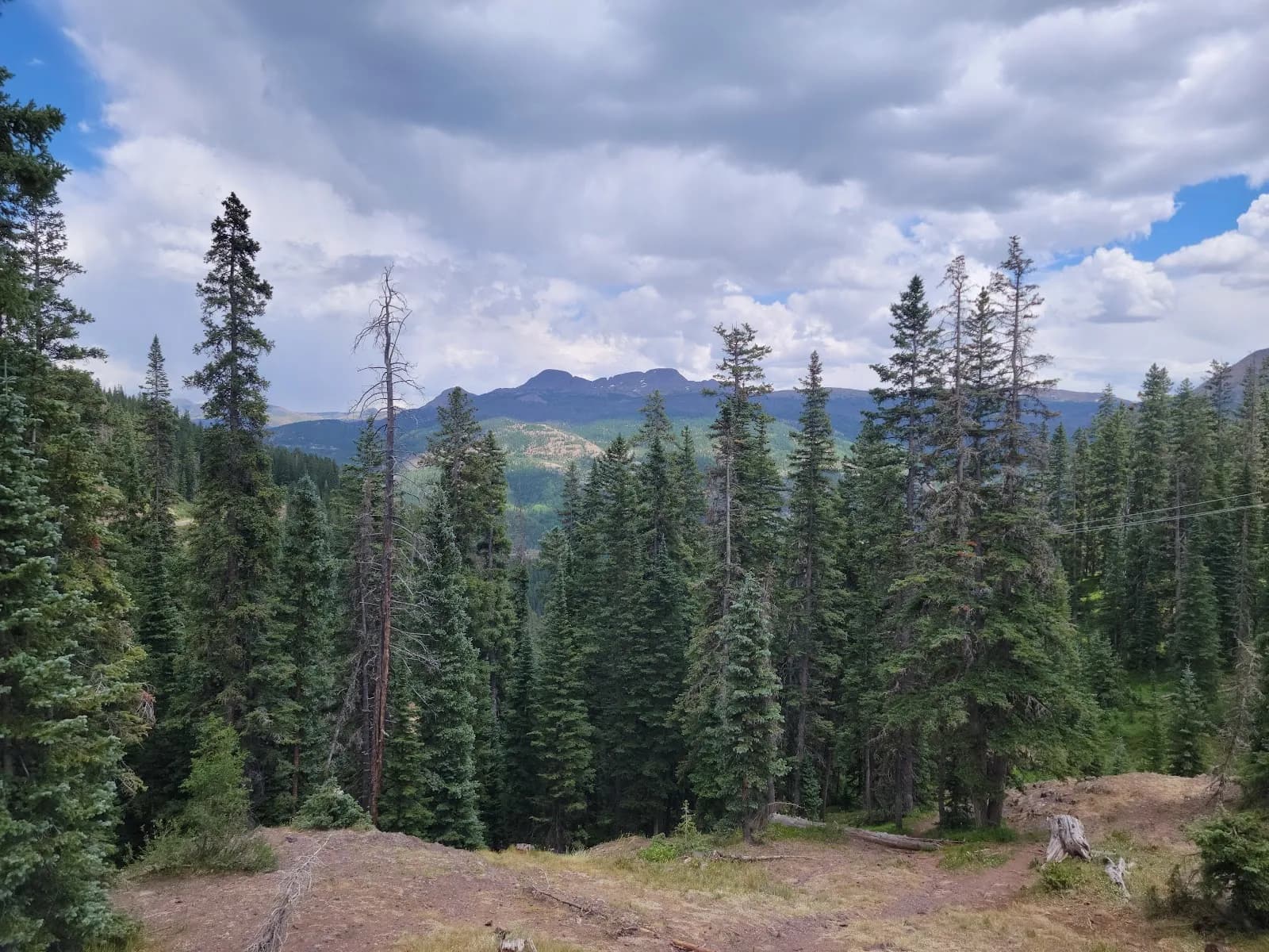
The Cascade Creek Trailhead in Durango provides access to a moderate, multi-use trail favored for its September aspen displays. The route follows Cascade Creek along the western base of the San Juan Mountains, offering wide aspen-and-meadow terrain that is less crowded than other high-country options. Hikers and mountain bikers share the path, which features steady elevation gain and stays close to the stream. The trailhead is located off Highway 550, approximately 28.5 miles north of Durango, with a small parking area accessible via Forest Service Road 783. While specific trail lengths vary by source, the experience is generally described as a pleasant stroll through forests and meadows, with options to extend the hike toward waterfalls and footbridges. Parking is available, and dogs are permitted, though leashing is recommended. Conditions are typically good, but hikers should prepare for variable weather and potential mud on the east side of the creek.
Trail profile
Gain
—
Avg grade
—
Steepest
—
High point
11,213 ft
Good to know
Parking at the trailhead
Restrooms available
Dogs allowed on leash
Waypoints
No waypoints mapped for this trail yet.
What people say
Reviews
No reviews yet
Been here? Help the next person out.
Within 30 miles
Nearby spots
Colorado Trail Segment 26 Trailhead
Lime Creek Campground