Fall Hiking · Aspen, CO
City of Aspen Parks Department
Before you go
Live · nearest station Aspen, 1 miGood window today. Daylight to 7:02 pm.
Thunderstorms
Feels like 53°
Storm chance
45% tonight
Wind
5 mph SSW
UV index
0 low
Sun window
6:56 am to 7:02 pm
Distance
—
Elevation gain
—
High point
7,898ft
Season
Sep - Novin season
About
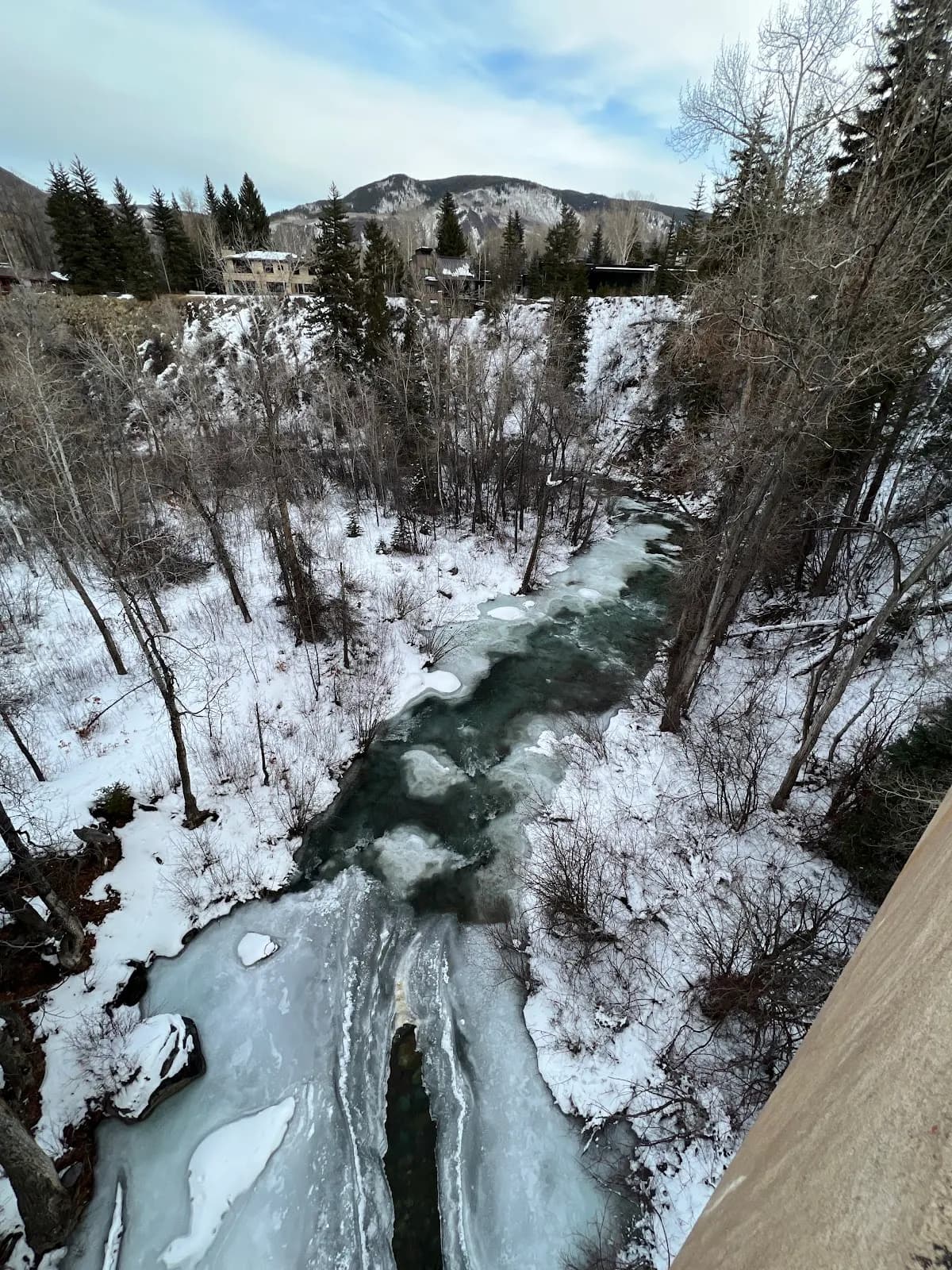
The City of Aspen Parks Department manages a trail network in Western Colorado that offers moderate fall hiking. Located at an elevation of 7,898 feet, the trails are accessible from September through November. The system includes over 25 miles of hard surface, soft surface, and single-track routes that are multi-use. Hikers typically spend about 2 hours on these trails. Parking is available, and pets are permitted. The area features changing foliage, with peak colors occurring in early October. Specific routes include the East of Aspen Trail, which follows the Roaring Fork River with views of Independence Pass, and Hunter Creek Valley, which passes through dense aspen clusters. American Lake offers a steeper ascent to high-alpine views with potential snow on surrounding peaks. The trails are interconnected, extending from Aspen/Snowmass down to Woody Creek and Basalt.
Trail profile
Gain
—
Avg grade
—
Steepest
—
High point
7,898 ft
Good to know
Parking at the trailhead
Restrooms available
Dogs allowed on leash
Waypoints
No waypoints mapped for this trail yet.
What people say
Reviews
No reviews yet
Been here? Help the next person out.
Within 30 miles