Fall Hiking · Clifton, CO
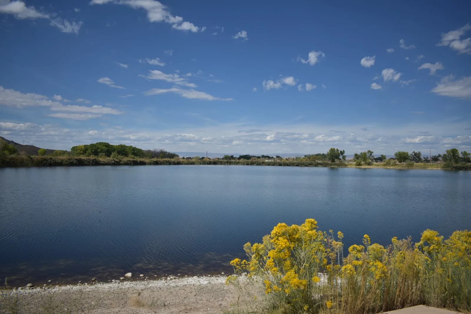
Clifton Nature Park
Before you go
Live · nearest station Grand Junction, 5 miGood window today. Daylight to 7:09 pm.
Mostly Cloudy
Feels like 74°
Storm chance
5% tonight
Wind
5 mph SSW
UV index
0 low
Sun window
7:02 am to 7:09 pm
Gunnison River near Grand Junction is running 1,150 cfs, water 65°.
Distance
—
Elevation gain
—
High point
4,623ft
Season
Sep - Novin season
About
Clifton Nature Park in Clifton, Colorado, offers a moderate hiking trail suitable for fall visits from September through November. The park sits at an elevation of 4,623 feet on the Colorado Plateau within the Rocky Mountains. The primary trail spans 2.6 miles with an elevation range of 4,618 to 4,720 feet and a total rise of 101 feet. Hikers typically complete the route in about two hours. The trailhead provides parking and restrooms but does not have a water source on site. Dogs are permitted as long as they remain leashed. Bicycles are also allowed on the path. The area is managed by Mesa County and falls under the jurisdiction of James M. Robb - Colorado River State Park. Trail conditions are generally well-maintained. The location is accessible via coordinates 39.062682°N and 108.452°W.
Trail profile
Gain
—
Avg grade
—
Steepest
—
High point
4,623 ft
Good to know
Parking at the trailhead
Restrooms available
Dogs allowed on leash
Waypoints
No waypoints mapped for this trail yet.
What people say
Reviews
No reviews yet
Been here? Help the next person out.
Within 30 miles