Hiking · Grand Junction, CO
Colorado Canyons Association
Before you go
Live · nearest station Grand Junction, 1 miGood window today. Daylight to 7:09 pm.
Chance of Rain
Feels like 76°
Storm chance
18% afternoon
Wind
5 mph WSW
UV index
0.6 low
Sun window
7:02 am to 7:09 pm
Gunnison River near Grand Junction is running 1,150 cfs, water 65°.
Distance
—
Elevation gain
—
High point
4,588ft
Season
Jan - Dec
About
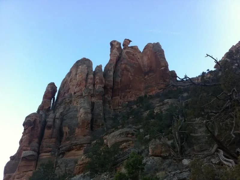
The Colorado Canyons Association operates in Grand Junction, located on the Western Slope at an elevation of 4,588 feet. The organization manages access to hiking trails within three National Conservation Areas: McInnis Canyons, Dominguez-Escalante, and Gunnison Gorge. These trails are classified as moderate difficulty, with a typical hiking duration of approximately two hours. The trailhead provides parking and allows pets. Hiking is accessible year-round, from January through December. The association focuses on community stewardship and education within these high desert canyon lands, which span approximately 123,739 acres of BLM-administered land near Grand Junction. The organization also operates a bookstore inside the Grand Junction BLM Field Office.
Trail profile
Gain
—
Avg grade
—
Steepest
—
High point
4,588 ft
Good to know
Parking at the trailhead
Dogs allowed on leash
Waypoints
No waypoints mapped for this trail yet.
What people say
Reviews
No reviews yet
Been here? Help the next person out.
Within 30 miles