Hiking · Colorado, CO
Colorado Trail
Before you go
Live · nearest station Gunnison, 27 miStorms are likely above treeline tonight. Start early and be off the ridge by midday.
Thunderstorms
Feels like 58°
Storm chance
57% tonight
Wind
5 mph N
Distance
—
Elevation gain
—
High point
11,385ft
Season
Jan - Dec
About
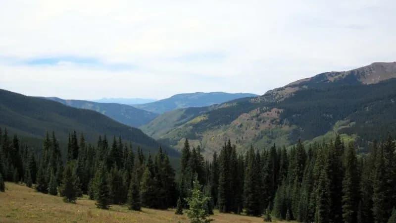
The Colorado Trail is a 567-mile long-distance route connecting Denver and Durango, traversing the Rocky Mountains. While the full trail supports hiking, biking, and horseback riding, this specific section near Colorado, Colorado, offers a moderate day hike. The trailhead sits at an elevation of 11,385 feet, and the typical duration for this segment is about two hours. Parking is available at the access point, and the trail is pet friendly. Trail conditions vary, including dirt paths and potential snow cover from January through March, extending into April depending on weather. The trail is managed as part of a network documented by over 230 trail managers through the Colorado Trail Explorer (COTREX) system.
Trail profile
Gain
—
Avg grade
—
Steepest
—
High point
11,385 ft
Good to know
Parking at the trailhead
Dogs allowed on leash
Waypoints
No waypoints mapped for this trail yet.
What people say
Reviews
No reviews yet
Been here? Help the next person out.
Within 30 miles