Fall Hiking · Durango, CO
Colorado Trail Trailhead
Before you go
Live · nearest station Durango, 4 miStorms build later today. Plan an early finish.
Thunderstorms
Feels like 64°
Storm chance
57% tonight
Wind
5 mph E
UV index
0 low
Sun window
7:00 am to 7:06 pm
Animas River at Durango is running 834 cfs and rising, water 55°.
Distance
—
Elevation gain
—
High point
6,996ft
Season
Sep - Novin season
About
The Colorado Trail Trailhead in Durango serves as a starting point for hiking the 567-mile Colorado Trail, which extends from Durango to Denver. Located in the San Juan National Forest at an elevation of 6,996 feet, this moderate-difficulty trail offers a hike lasting approximately two hours. The site is accessible from September through November, a period noted for prominent fall foliage. Practical amenities include available parking and restrooms. The trail permits pets and is open to hikers, bikers, and horseback riders. While the full trail spans rugged environments and high elevations, this specific trailhead provides a convenient entry point for exploring the local wilderness.
Trail profile
Gain
—
Avg grade
—
Steepest
—
High point
6,996 ft
Good to know
Parking at the trailhead
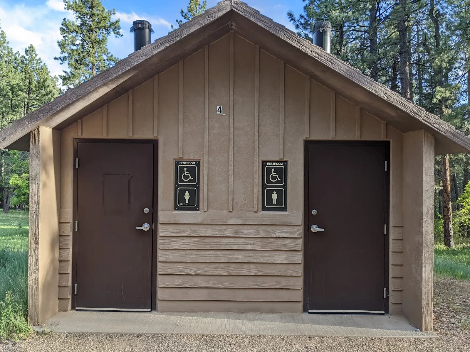
Restrooms available
Dogs allowed on leash
Waypoints
No waypoints mapped for this trail yet.
What people say
Reviews
No reviews yet
Been here? Help the next person out.
Within 30 miles