Fall Hiking · Ophir, CO
Columbine Lake Trailhead
Before you go
Live · nearest station Telluride, 7 miStorms build later today. Plan an early finish.
Thunderstorms
Feels like 42°
Trailhead temp
36° est. at 10,342 ft
Storm chance
65% overnight
Wind
0 mph
Distance
—
Elevation gain
—
High point
10,342ft
Season
Sep - Novin season
About
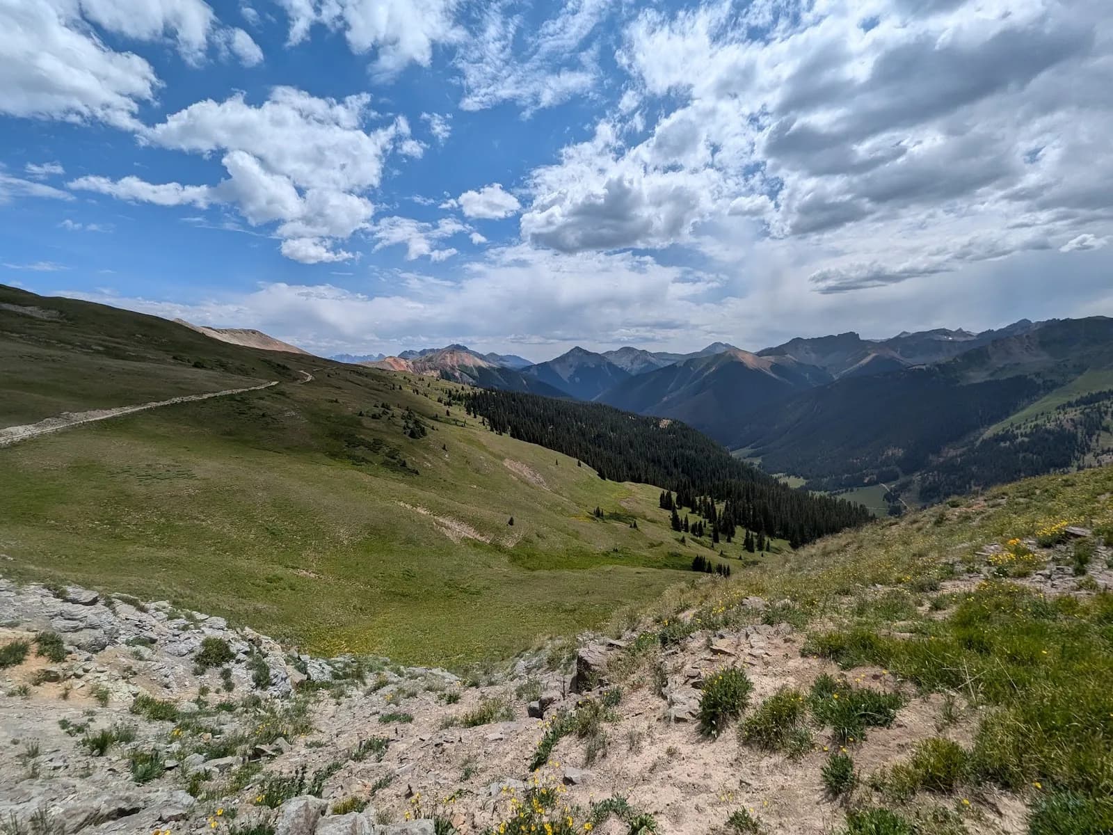
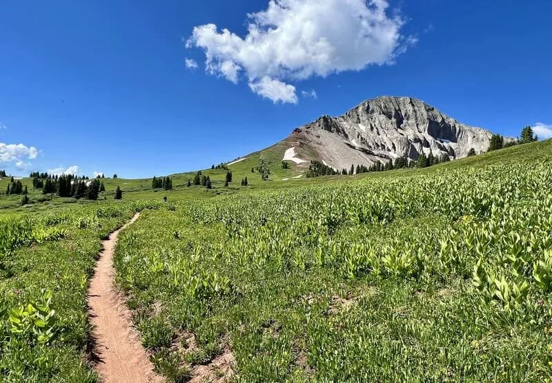
The Columbine Lake Trailhead in Ophir, Colorado, serves as a moderate to strenuous hiking option within the San Juan National Forest. Located approximately 57 miles north of Durango on Highway 550, the trail begins by turning off onto Ophir Pass Road and continuing roughly 0.4 miles to Forest Route 820. The unmarked trailhead sits about three-quarters of a mile down FR 820. Hikers face an immediate steep climb characterized by over 16 switchbacks, which eventually flatten out as the trail enters the basin below Columbine Lake. The elevation ranges from 10,200 feet to 12,800 feet. The route typically takes about two hours one-way and covers 3.2 miles. Fall conditions, specifically September through November, offer colorful wildflowers and clear views of the surrounding mountains. Water sources are available but can be scarce, and brook trout fishing is possible in the lake. Parking near the FR 820 turnoff is recommended, as space at the immediate trailhead is limited. Pets are permitted on the trail.
Trail profile
Gain
—
Avg grade
—
Steepest
—
High point
10,342 ft
Good to know
Parking at the trailhead
Restrooms available
Dogs allowed on leash
Waypoints
No waypoints mapped for this trail yet.
What people say
Reviews
No reviews yet
Been here? Help the next person out.
Within 30 miles