Hiking · Aspen, CO
Congo
Before you go
Live · nearest station Aspen, 0 miGood window today.
Thunderstorms
Feels like 56°
Storm chance
30% afternoon
Wind
5 mph NW
Distance
1.68mi round trip
Elevation gain
49ft
High point
7,890ft
Season
Jan - Dec
About
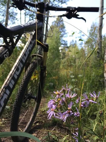
The Congo Trail is a steep, 1.7-mile dirt path in Aspen, Colorado, connecting Castle Creek Road (CR 15) to the Aspen Highlands Ski Resort. Rated difficult, the trail gains approximately 3,060 feet of elevation. The ascent begins with loose rocks and water bars on a very steep grade, making footing unstable. After the initial switchbacks, the terrain becomes more manageable but remains strenuous. The trail is shaded, offering relief on hot summer days, and is open to hiking, running, mountain biking, and dogs. Parking is available at a small lot off Castle Creek Road. The trail traverses private land within White River National Forest.
Trail profile
Gain
49 ft
Avg grade
1%
Steepest
1%
High point
7,890 ft
Good to know
Parking at the trailhead
Waypoints
Latest trail reportgood
Trail is in good condition. No significant obstacles or hazards reported.
Reported Mar 2, 2025Verified
What people say
Reviews
No reviews yet
Been here? Help the next person out.
Within 30 miles