Mountain Biking · Grand Mesa, CO
County Line
Before you go
Live · nearest station Delta County, 21 miGood window today.
Cloudy
Feels like 63°
Trailhead temp
42° est. at 10,826 ft
Storm chance
17% tonight
Wind
5 mph ESE
Distance
6.9mi round trip
Elevation gain
1,797ft
High point
10,826ft
Season
Apr - Octpeak now
About
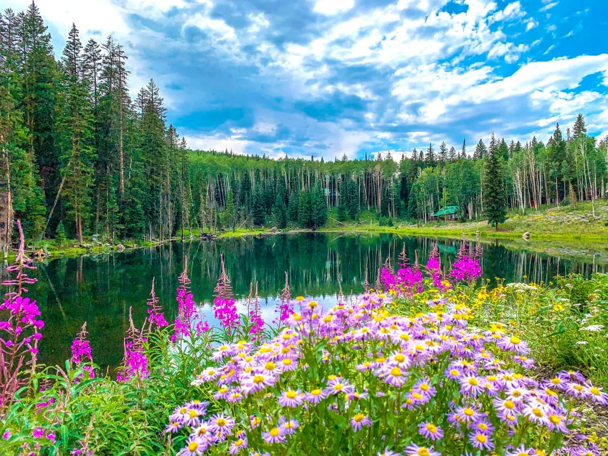
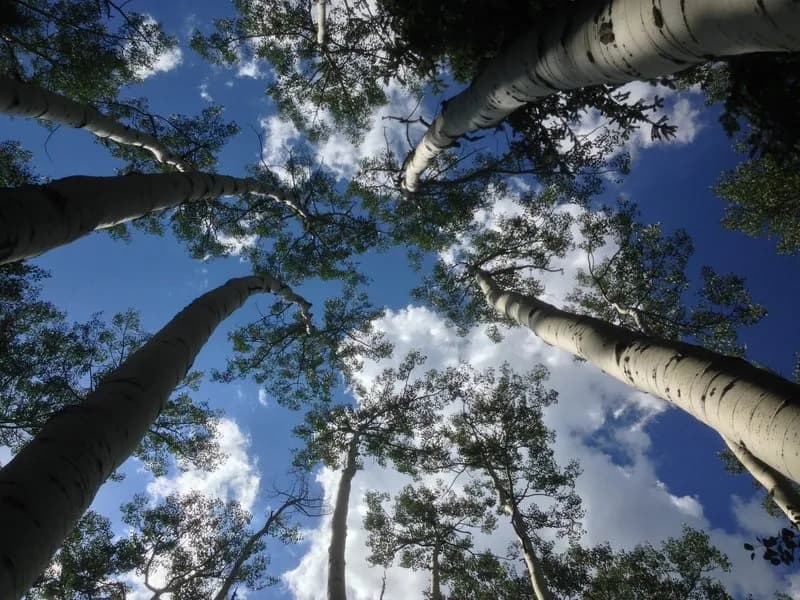
County Line is a 6.9-mile mountain biking route on Grand Mesa, Colorado, situated at 10,826 feet. The trail is rated moderate and typically takes about two hours to complete. It is accessible from April through October, though snow and weather conditions can alter this window. Parking is available near the trailhead, and the trail is pet friendly. The terrain is described as flat overall with short ups and downs, rolling through forest on top of Grand Mesa. Riders note the presence of rocks and fewer roots compared to other regions. The trail is located near Cedaredge on the Western Slope. Some sources indicate it is part of the Grand Mesa National Forest, while others refer to it as a connector trail. The trail can be used in both directions.
Trail profile
Gain
1,797 ft
Avg grade
5%
Steepest
15%
High point
10,826 ft
Good to know
Parking at the trailhead
Dogs allowed on leash
Waypoints
Latest trail reportgood
Trail is in good condition. Traction is good with minimal obstacles.
Reported Mar 2, 2025Verified
What people say
Reviews
No reviews yet
Been here? Help the next person out.
Within 30 miles