Hiking · Grand Mesa, CO
County Line Trail
Before you go
Live · nearest station Delta County, 21 miGood window today.
Mostly Cloudy
Feels like 55°
Trailhead temp
36° est. at 10,373 ft
Storm chance
9% overnight
Wind
5 mph E
Distance
6.9mi round trip
Elevation gain
447ft
High point
10,427ft
Season
Jan - Dec
About
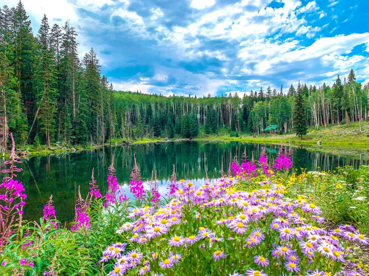
The County Line Trail is a 6.9-mile moderate hike on Grand Mesa, Western Slope, Colorado. The trail connects Grand Mesa and Delta counties along Highway 65 at an elevation of approximately 10,373 feet. Hikers traverse a perimeter loop with minor elevation changes, averaging 4 hours to complete. The route passes through open meadows and forested areas, offering views of Scales Reservoirs. Parking is available at the trailhead near CR65. While accessible year-round, winter conditions require caution as some sections are groomed for Nordic skiing and may restrict hikers or bikers during peak winter use. The terrain is generally flat with short ups and downs, making it suitable for families and those seeking a scenic route without steep climbs. Wildflowers bloom in summer, and the trail offers low-angle terrain with potential for cracks or slides near reservoir edges.
Trail profile
Gain
447 ft
Avg grade
1%
Steepest
4%
High point
10,427 ft
Good to know
Parking at the trailhead
Waypoints
Latest trail reportgood
Trail is in good condition. No significant obstacles or hazards reported.
Reported Mar 2, 2025Verified
What people say
Reviews
No reviews yet
Been here? Help the next person out.
Within 30 miles