Hiking · Silverton, CO
County Road 33
Before you go
Live · nearest station Telluride, 13 miStorms build later today. Plan an early finish.
Chance of Rain
Feels like 44°
Storm chance
50% tonight
Wind
5 mph ESE
Distance
5.4mi round trip
Elevation gain
2,952ft
High point
12,241ft
Season
Jan - Dec
About
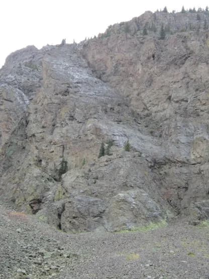
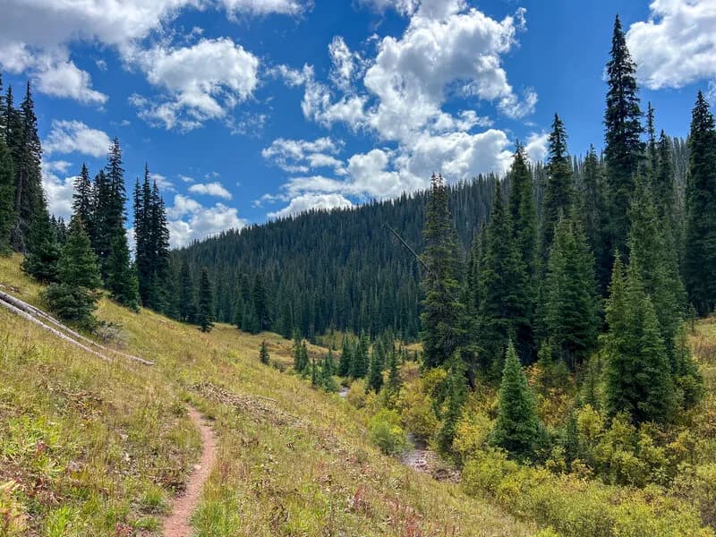
County Road 33 is a dirt road leading out of Silverton, Colorado, toward the backside of Kendall Mountain. The route connects the town to the Kendall Mountain Recreation Area and links with Whitehead Trail #674 and the Kendall Mountain summit. The road surface is unpaved, and the terrain is characterized by a boulder-lined roadbed that is more precarious than technically difficult. Access is seasonal, typically open from July until the first major snowfall. The trail allows for hiking, biking, and horseback riding, and dogs are permitted off-leash. Parking is available at the trailhead.
Trail profile
Gain
2,952 ft
Avg grade
10%
Steepest
20%
High point
12,241 ft
Good to know
Parking at the trailhead
Waypoints
Latest trail reportgood
Trail is in good condition. No significant obstacles or hazards reported.
Reported Mar 2, 2025Verified
What people say
Reviews
No reviews yet
Been here? Help the next person out.
Within 30 miles