Fall Hiking · Cedaredge, CO
Crag Crest Trail
Before you go
Live · nearest station Delta County, 23 miGood window today.
Cloudy
Feels like 64°
Trailhead temp
42° est. at 11,117 ft
Storm chance
17% tonight
Wind
5 mph SSE
Distance
—
Elevation gain
—
High point
11,117ft
Season
Sep - Novin season
About
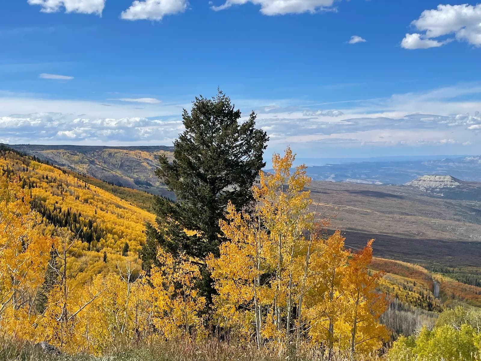
The Crag Crest Trail is a 11-mile National Recreation Loop near Cedaredge, Colorado, offering panoramic views of the Book Cliffs, Roan Cliffs, West Elk Mountains, and San Juan Mountains. The trail sits on Grand Mesa, the world's largest flat-top mountain. Hikers access the route via two trailheads: the West Trailhead near Island Lake and the East Trailhead at Crag Crest Campground. The path begins as a dirt singletrack, climbing through open meadows and forests before ascending to a narrow, talus-strewn ridge. The steepest section occurs between mile 1 and 2, where the trail gains significant elevation. The ridge segment spans approximately three miles with narrow areas and steep drop-offs, providing high vantage points. The trail is designated for foot travel on the crest section between the East Trailhead and the Cottonwood Lakes Trail junction, while biking and horseback riding are permitted on the lower loop and the section from the West Trailhead to the ridge center. Fall hiking is recommended between September and November, when weather is mild and foliage changes color. The trail typically takes about two hours to complete for shorter segments, though the full loop is longer. Parking is available at both trailheads. The route is pet-friendly and features diverse wildflowers along the way.
Trail profile
Gain
—
Avg grade
—
Steepest
—
High point
11,117 ft
Good to know
Parking at the trailhead
Restrooms available
Dogs allowed on leash
Waypoints
Latest trail reportgood
Trail is in good condition. Traction is good with minimal obstacles.
Reported Mar 2, 2025Verified
What people say
Reviews
No reviews yet
Been here? Help the next person out.
Within 30 miles