Fall Hiking · Cedaredge, CO
Crags Crest Trailhead
Before you go
Live · nearest station Delta County, 22 miGood window today.
Cloudy
Feels like 63°
Trailhead temp
44° est. at 10,430 ft
Storm chance
17% tonight
Wind
5 mph ESE
Distance
—
Elevation gain
—
High point
10,430ft
Season
Sep - Novin season
About
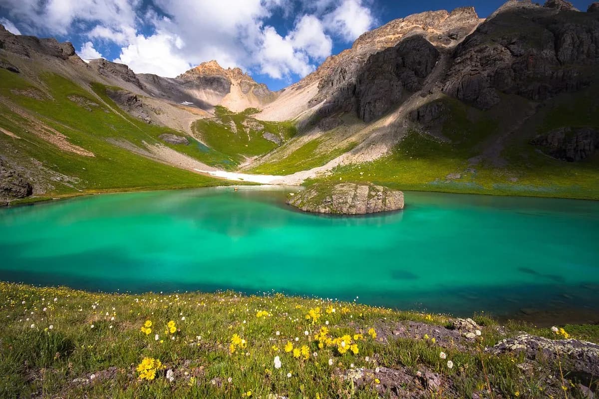
The Crags Crest Trailhead provides access to the Crag Crest National Recreation Trail, a 10.3-mile circular route located north of Cedaredge on the Western Slope. The trail connects two trailheads: a West Trailhead near Island Lake and an East Trailhead adjacent to Eggleston Lake. The route is classified as moderate to strenuous, featuring varied terrain with steep inclines and rocky sections. The full loop takes approximately two hours to complete, though the crest portion alone covers 6.5 miles and rises steeply from the East Trailhead. Elevation at the trailhead is 10,430 feet, with trail conditions noted as dry and rocky. The recommended season for hiking is September through November, coinciding with peak fall foliage. Parking is available at the trailheads, and the area is pet friendly. The first 1.5 miles from the West Trailhead allow horse traffic, while the remainder is restricted to foot travel. Hikers are advised to start early to avoid afternoon thunderstorms. The trail was designated as a National Recreation Trail in 1978 and offers scenic vistas and geologic features. Note that Critical Gold Mountain Fire evacuation orders are currently in effect for the GO zone.
Trail profile
Gain
—
Avg grade
—
Steepest
—
High point
10,430 ft
Good to know
Parking at the trailhead
Restrooms available
Dogs allowed on leash
Waypoints
No waypoints mapped for this trail yet.
What people say
Reviews
No reviews yet
Been here? Help the next person out.
Within 30 miles