Hiking · Crested Butte, CO
Crested Butte Summit Path
Before you go
Live · nearest station Gunnison, 23 miGood window today. Daylight to 7:03 pm.
Thunderstorms
Feels like 62°
Storm chance
31% afternoon
Wind
5 mph NW
UV index
0.4 low
Sun window
6:56 am to 7:03 pm
Distance
1.43mi round trip
Elevation gain
568ft
High point
10,151ft
Season
Jan - Dec
About
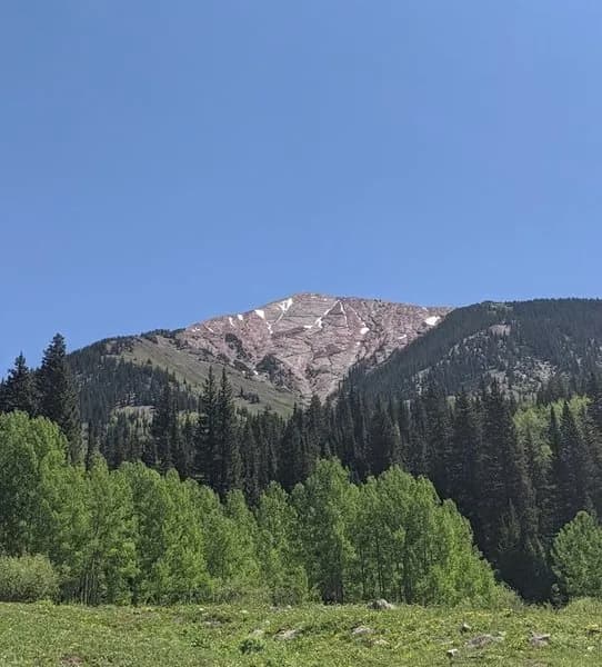
The Crested Butte Summit Path leads to the 12,162-foot peak above the Crested Butte Mountain Resort. Most hikers take the Silver Queen Express chairlift from the base area to Elfin Pass (11,340, 11,430 feet) and hike the final 1.43 miles to the summit. This is a strenuous, exposed route with steep, loose scree and basic scrambling. The trail offers virtually no shade and is prone to fast-moving thunderstorms. Hikers can also start from the base area for a longer, more challenging ascent of 11.25 miles round trip. The trail is accessible year-round, though conditions vary. Parking is available at the base area near Treasury Road and Snowmass Road. Common wildflowers include columbine, lupine, and fireweed. Dogs are not allowed on this trail.
Trail profile
Gain
568 ft
Avg grade
8%
Steepest
8%
High point
10,151 ft
Good to know
Parking at the trailhead
Waypoints
Latest trail reportgood
Trail is in good condition. No significant obstacles or hazards reported.
Reported Mar 2, 2025Verified
What people say
Reviews
No reviews yet
Been here? Help the next person out.
Within 30 miles