Mountain Biking · Grand Mesa, CO
Deep Creek Trail
Before you go
Live · nearest station Delta County, 21 miGood window today.
Cloudy
Feels like 61°
Trailhead temp
42° est. at 10,363 ft
Storm chance
17% tonight
Wind
5 mph ESE
Distance
2.8mi round trip
Elevation gain
179ft
High point
10,363ft
Season
Apr - Octpeak now
About
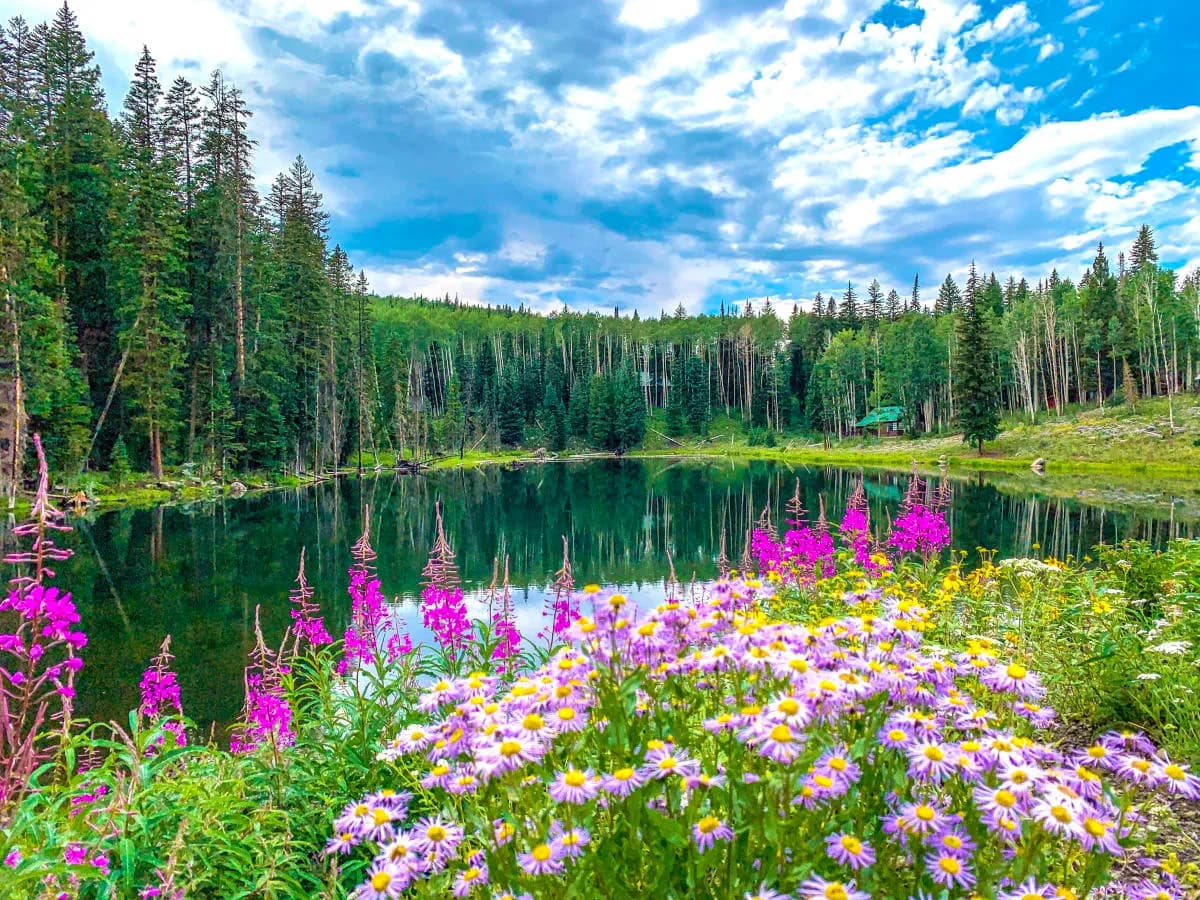
The Deep Creek Trail is a 2.8-mile mountain biking route on the Grand Mesa in Western Colorado, situated near Cedaredge and east of Grand Junction. The trail connects the north end near Mesa Lakes to Lands End Road on the south side, serving as a link in the Plunge to Powderhorn route. It sits at an elevation between 10,194 and 10,365 feet with a total elevation change of approximately 172 feet. The route is classified as easy and non-technical, featuring a relatively smooth surface that meanders through open meadows. However, the trail is exposed with minimal tree cover and lies near cattle grazing areas, which can result in a trundled or uneven trail bed. Riders should be aware of potential boggy sections near the small reservoirs at the far end and consider mosquito activity typical for the region. Access is via Lands End Road, with a parking area located behind the Raber Cow Camp interpretive buildings. The trail allows hiking, biking, and horses, with dogs permitted year-round. While some sources cite a season from April to October based on snow conditions, official USFS data indicates bike access is permitted from July 1 through September 30. The trail typically takes about one hour to complete, though durations can vary depending on whether the rider is ascending from Carson Lake or descending toward Coal Creek. A small camping area exists where the trail intersects Rim View Trail #533 near Anderson Reservoirs Road.
Trail profile
Gain
179 ft
Avg grade
1%
Steepest
2%
High point
10,363 ft
Good to know
Parking at the trailhead
Dogs allowed on leash
Waypoints
Latest trail reportgood
Trail is in good condition. Traction is good with minimal obstacles.
Reported Mar 2, 2025Verified
What people say
Reviews
No reviews yet
Been here? Help the next person out.
Within 30 miles