Hiking · Grand Junction, CO
Devil's Kitchen Picnic Area
Before you go
Live · nearest station Grand Junction, 5 miGood window today.
Mostly Cloudy
Feels like 62°
Storm chance
2% tonight
Wind
0 mph
Gunnison River near Grand Junction is running 1,170 cfs and falling, water 64°.
Distance
—
Elevation gain
—
High point
5,055ft
Season
Jan - Dec
About
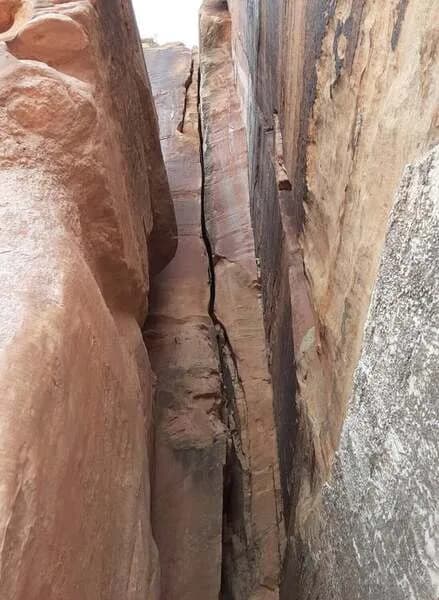
Devils Kitchen Picnic Area serves as the primary trailhead for the Devils Kitchen Trail within Colorado National Monument, located just inside the East Entrance near Grand Junction. The trail is a 1.5-mile out-and-back route that climbs from approximately 4,990 feet to 5,060 feet. It leads hikers to a natural opening formed by a circle of huge upright boulders, known as the Devils Kitchen rock grotto. The route involves a gradual ascent followed by carved steps up slickrock. The trail is classified as moderate difficulty and is open to hiking and horseback riding. Parking is available on the left side of Rim Rock Drive, with additional space in the Devils Kitchen Picnic Area to the right. The trailhead is shared with the No Thoroughfare Canyon Trail and Old Gordon Trail. While the area is generally accessible year-round, the trail is popular from March through October. Note that while the picnic area itself allows pets, some sources indicate dogs are not allowed on the specific Devils Kitchen Trail itself, so verification is advised before visiting.
Trail profile
Gain
—
Avg grade
—
Steepest
—
High point
5,055 ft
Good to know
Parking at the trailhead
Dogs allowed on leash
Waypoints
No waypoints mapped for this trail yet.
What people say
Reviews
No reviews yet
Been here? Help the next person out.
Within 30 miles
Nearby spots
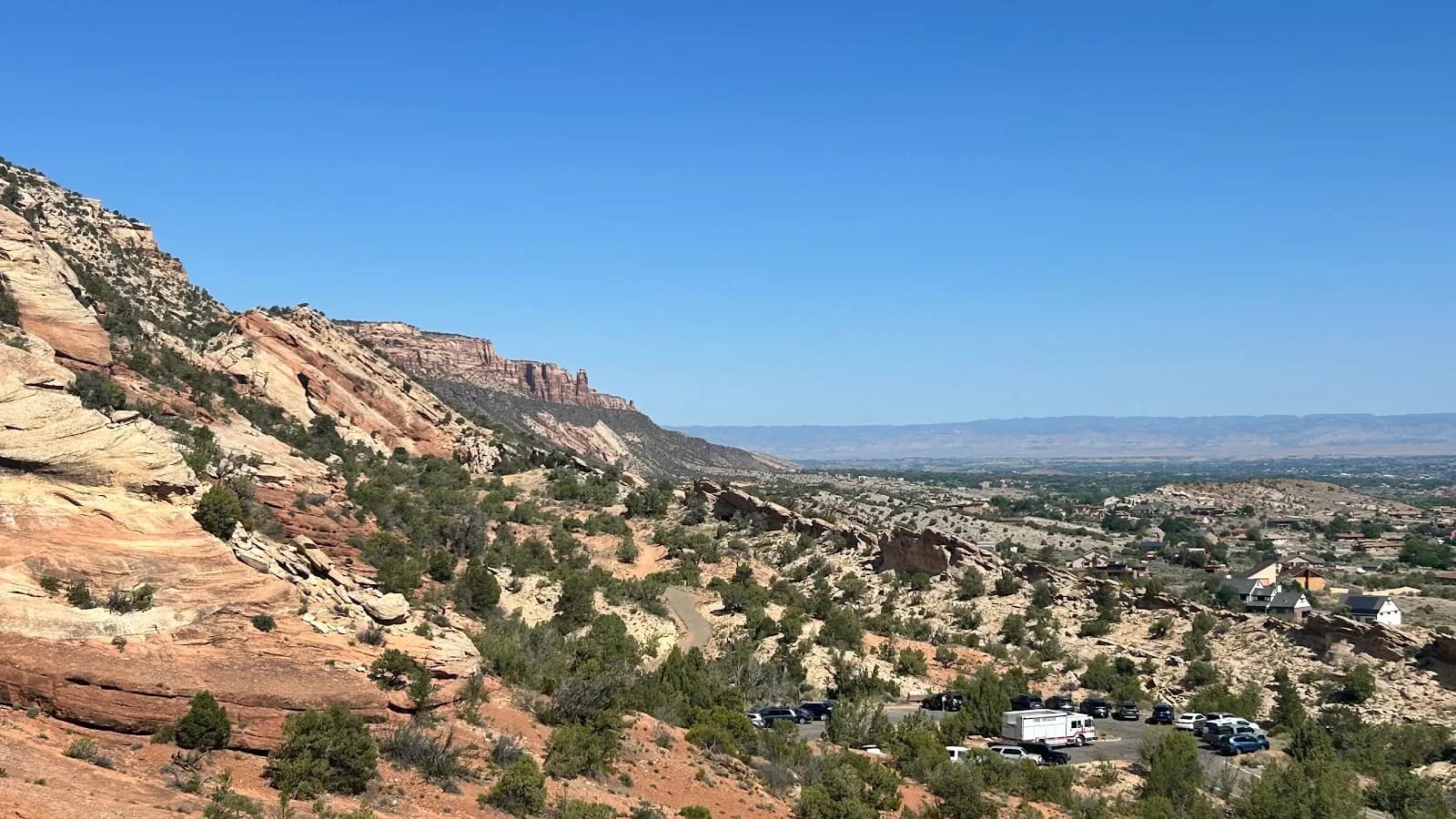
Devil’s Kitchen Trailhead
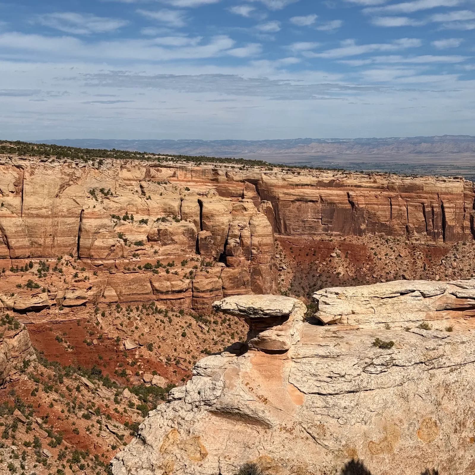
Cold Shivers Point Overlook