Fall Hiking · Whitewater, CO
Dominguez Canyon Trailhead
Before you go
Live · nearest station Grand Junction, 18 miGood window today. Daylight to 7:08 pm.
Mostly Cloudy
Feels like 76°
Storm chance
5% tonight
Wind
5 mph WSW
UV index
0 low
Sun window
7:02 am to 7:08 pm
Gunnison River near Grand Junction is running 1,150 cfs, water 65°.
Distance
—
Elevation gain
—
High point
4,731ft
Season
Sep - Novin season
About
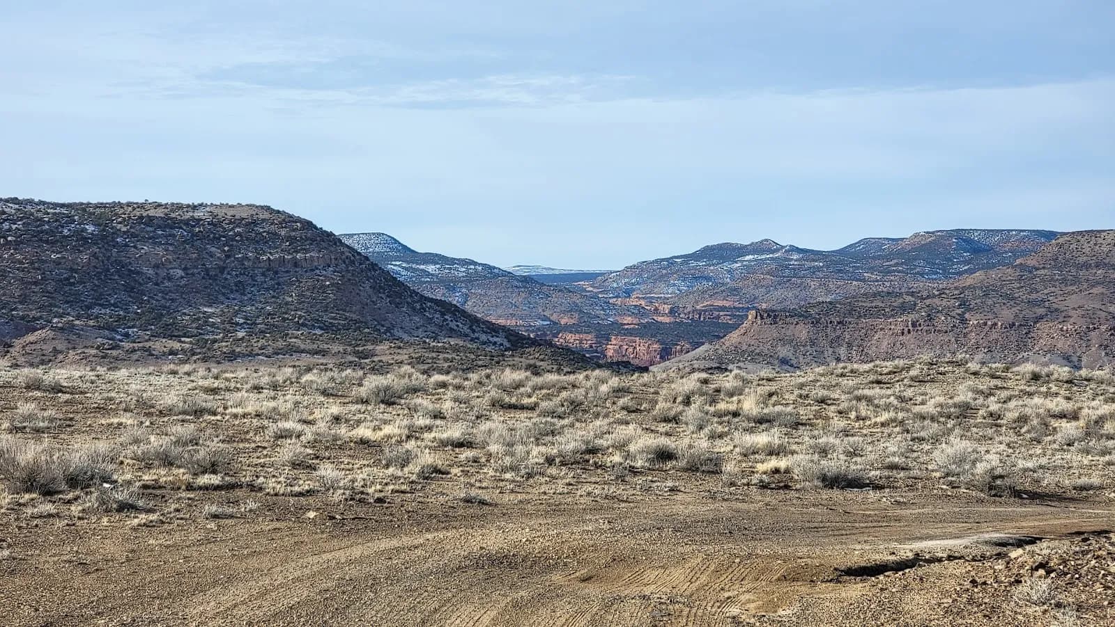
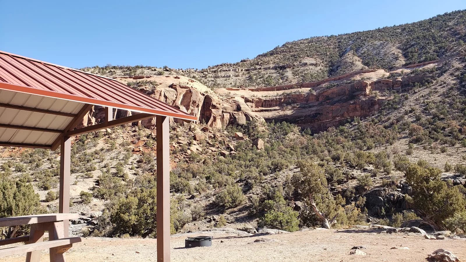
The Dominguez Canyon Trailhead in Whitewater, Colorado, serves as the access point for hiking Big Dominguez Canyon along the Gunnison River. Located approximately 20 miles south of Grand Junction, the trailhead is reached by following Bridgeport Road, a narrow dirt road extending about 3 miles to the river. The site sits within the Dominguez-Escalante National Conservation Area, a Bureau of Land Management administered region. The trail is rated as moderate difficulty and typically requires about two hours to complete, though the full Big Dominguez Canyon Trail extends 14 miles round trip and can take nearly five hours. The area is open year-round, with September through November offering generally dry conditions and minimal snow. Hikers can expect to find parking and restrooms at the trailhead. The route follows train tracks before crossing a bridge into the canyon, where visitors encounter rock formations, petroglyphs, waterfalls, and swimming holes. Wildlife sightings include bighorn sheep, and the landscape features archaic rock shelters. Pets are permitted on the trail.
Trail profile
Gain
—
Avg grade
—
Steepest
—
High point
4,731 ft
Good to know
Parking at the trailhead
Restrooms available
Dogs allowed on leash
Waypoints
No waypoints mapped for this trail yet.
What people say
Reviews
No reviews yet
Been here? Help the next person out.
Within 30 miles