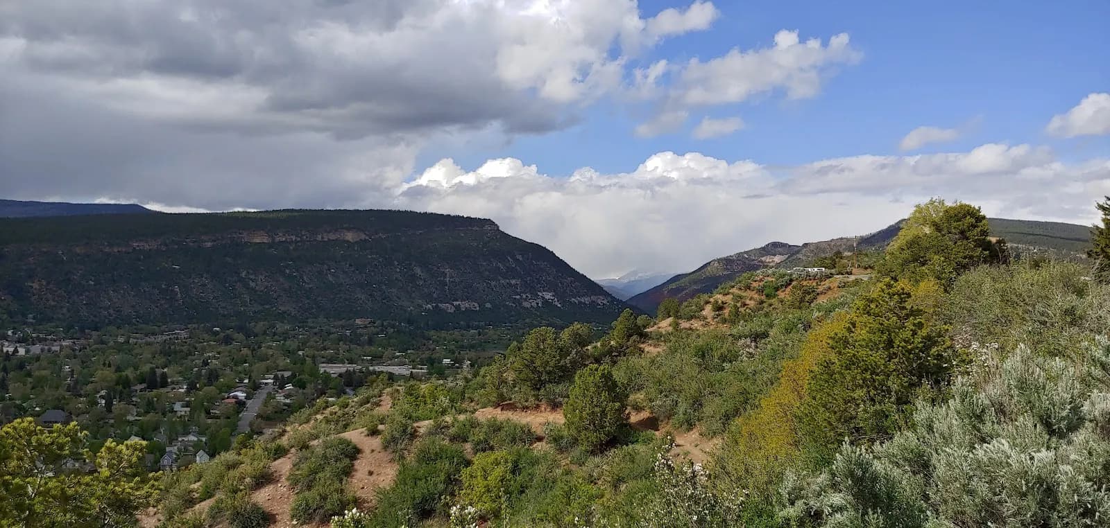
Hiking · Durango, CO
Dry Fork Trail
Before you go
Live · nearest station Durango, 1 miStorms build later today. Plan an early finish.
Thunderstorms
Feels like 59°
Storm chance
57% tonight
Wind
5 mph NE
Distance
4.04mi round trip
Elevation gain
660ft
High point
7,484ft
Season
Jan - Dec
About
The Dry Fork Trail is a singletrack route in Durango, Colorado, serving as part of the Lower Colorado Trail system. The trail begins at a cattle guard on the west side of the Junction Creek Trailhead parking area. Hikers climb approximately one mile to a split, where the route turns left, continuing through ponderosa pine, scrub oak, and aspen stands. The trail is popular for hiking, mountain biking, trail running, and horseback riding. Access requires driving from downtown Durango via US Hwy 160 west, turning right on Lightner Creek Road (CR 207), following the State Wildlife area (CR 208), and taking a final left away from Silver Mountain Ranch. The road to the trailhead is closed from December 1 to April 15 annually for wildlife, restricting winter access. The trailhead offers parking, and the route is generally considered moderate in difficulty.
Trail profile
Gain
660 ft
Avg grade
3%
Steepest
9%
High point
7,484 ft
Good to know
Parking at the trailhead
Waypoints
Latest trail reportgood
Trail is in good condition. No significant obstacles or hazards reported.
Reported Mar 2, 2025Verified
What people say
Reviews
No reviews yet
Been here? Help the next person out.
Within 30 miles
Nearby spots
Pioneer Trail
Durango Smurfcock's Dilemma