Hiking · Grand Junction, CO
Eagle's Wing
Before you go
Live · nearest station Grand Junction, 2 miGood window today.
Chance of Rain
Feels like 76°
Storm chance
25% afternoon
Wind
5 mph WSW
Gunnison River near Grand Junction is running 1,160 cfs, water 65°.
Distance
2.5mi round trip
Elevation gain
382ft
High point
5,001ft
Season
Jan - Dec
About
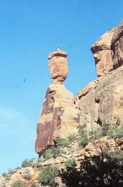
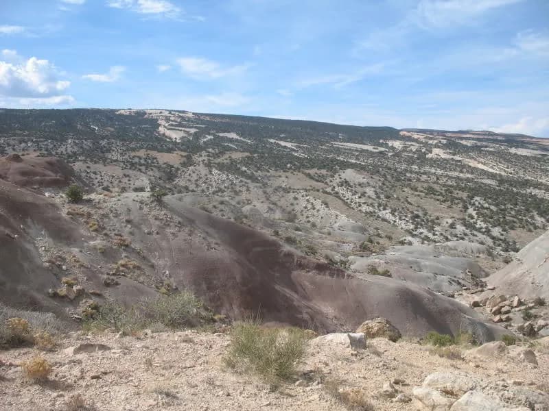
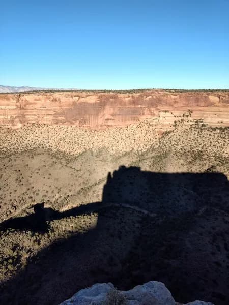
Eagle's Wing is a hiking trail in Grand Junction, Colorado, situated within the Lunch Loop Trails System. The route connects to the Tabeguache Trail and extends toward Eagle's Nest Rock, offering views of the Colorado National Monument and Bangs Canyon. The trail features rocky, ledgy terrain with a ground surface. It is classified as difficult by some sources, while others label it easy, reflecting its accessibility to various fitness levels. The trailhead is located near downtown Grand Junction and offers parking. Elevation reaches approximately 4,690 to 5,735 feet, and the trail length is about 2.5 miles. Hikers typically complete the route in two hours. The trail is open year-round and supports hiking, mountain biking, and equestrian use.
Trail profile
Gain
382 ft
Avg grade
3%
Steepest
5%
High point
5,001 ft
Good to know
Parking at the trailhead
Waypoints
Latest trail reportgood
Trail is in good condition. No significant obstacles or hazards reported.
Reported Mar 2, 2025Verified
What people say
Reviews
No reviews yet
Been here? Help the next person out.
Within 30 miles