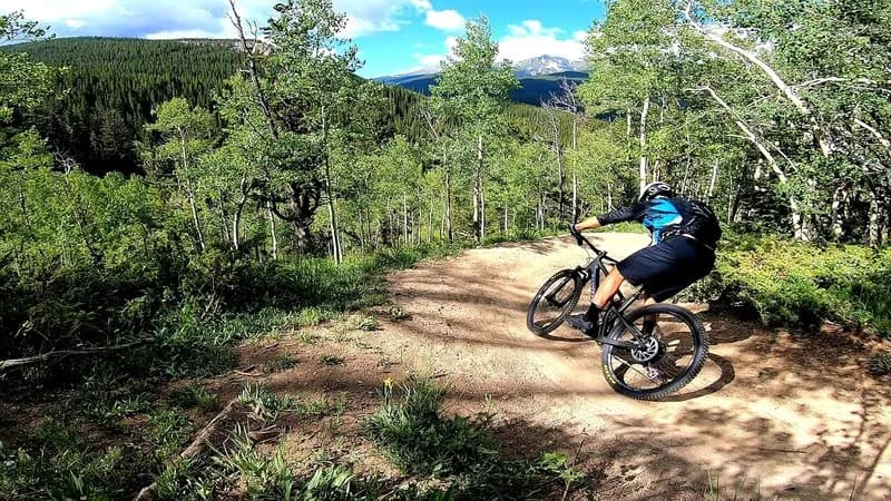
Mountain Biking · Aspen, CO
East of Aspen Trail
Before you go
Live · nearest station Aspen, 0 miGood window today. Daylight to 7:25 pm.
Sunny
Feels like 50°
Wind
5 mph SE
UV index
0.2 low
Sun window
6:43 am to 7:25 pm
Distance
—
Elevation gain
—
High point
7,890ft
Season
Apr - Octpeak now
About
The East of Aspen Trail is a gentle, multi-use path located southeast of downtown Aspen, paralleling the Roaring Fork River. It serves as an easy mountain biking route characterized by wide grades and a mix of paved sections, soft dirt, and wood plank bridges. The trail extends for approximately 3 miles one way, totaling about 6 miles for an out-and-back ride, and connects the town toward the base of Independence Pass near Difficult Campground. Elevation sits around 7,890 feet. The surface is generally flat and suitable for riders of all skill levels, making it a practical option for casual rides or commuting. Parking is available at the trailhead, and the path is dog-friendly. While the official season runs from April through October, user reports indicate July through September offers the most reliable conditions. An interpretive wildlife-viewing stand is located within the North Star Nature Preserve along the route.
Trail profile
Gain
—
Avg grade
—
Steepest
—
High point
7,890 ft
Good to know
Parking at the trailhead
Dogs allowed on leash
Waypoints
Latest trail reportgood
Trail is in good condition. Traction is good with minimal obstacles.
Reported Mar 2, 2025Verified
What people say
Reviews
No reviews yet
Been here? Help the next person out.
Within 30 miles