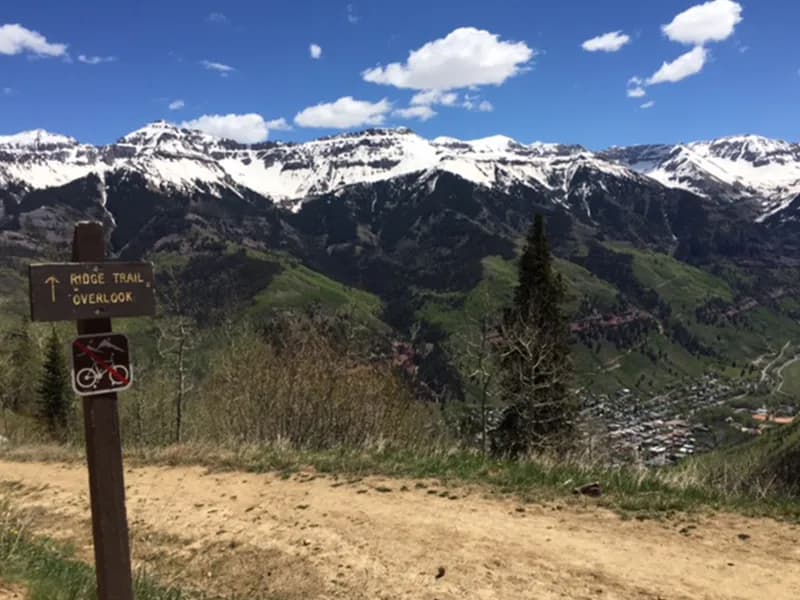
Hiking · Telluride, CO
Eider to Mill Creek Connector
Before you go
Live · nearest station Telluride, 2 miStorms build later today. Plan an early finish.
Thunderstorms
Feels like 55°
Trailhead temp
51° est. at 9,824 ft
Storm chance
71% afternoon
Wind
5 mph NNE
UV index
0.1 low
Sun window
7:00 am to 7:06 pm
Distance
2.2mi round trip
Elevation gain
481ft
High point
10,305ft
Season
Jan - Dec
About
The Eider to Mill Creek Connector is a 2.2-mile point-to-point hiking trail in Telluride, Colorado, situated at an elevation of 9,824 feet. Built as a partnership between the USFS and the Telluride Mountain Club, this trail connects the first switchback on Mill Creek Road to the intersection of Deep Creek Trail and Waterline/Mill Creek Trail. It serves as a connector that allows hikers to form loops with surrounding trails, such as the Eider Creek Trail. The route is generally considered moderate difficulty and is open to hiking, trail running, and mountain biking. Users should be cautious of two-way traffic, particularly swift downhill bike traffic in certain sections. Parking is available at the trailhead. The trail is accessible year-round, though conditions vary with snow in winter and dry terrain in summer. Typical completion time is approximately one hour.
Trail profile
Gain
481 ft
Avg grade
4%
Steepest
4%
High point
10,305 ft
Good to know
Parking at the trailhead
Waypoints
Latest trail reportgood
Trail is in good condition. No significant obstacles or hazards reported.
Reported Mar 2, 2025Verified
What people say
Reviews
No reviews yet
Been here? Help the next person out.
Within 30 miles