Hiking · Silverton, CO
Engineer Mountain Trail
Before you go
Live · nearest station Telluride, 12 miGood window today.
Thunderstorms
Feels like 41°
Storm chance
32% overnight
Wind
0 mph
Distance
9.9mi round trip
Elevation gain
3,916ft
High point
12,992ft
Season
Jan - Dec
About
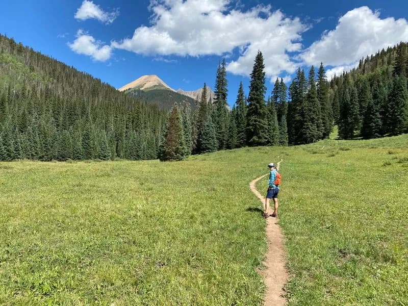
Engineer Mountain Trail is a difficult hiking route in the San Juans near Silverton, Colorado, leading to the summit of Engineer Mountain, a distinctive 12,185-foot peak. The trail typically starts near Coal Bank Pass on Highway 550. The initial segment follows the Pass Creek Trail through dense forest and meadows before reaching an open meadow where the mountain rises prominently. From the meadow, hikers ascend via an unofficial but well-traveled path marked by rock cairns to the summit. This final pitch is steep, technical, and highly exposed, requiring scrambling and the use of hands. The total distance varies by source, cited as 6 miles, 9.9 miles, or 13.1 miles, with elevation gains ranging from 2,000 feet to significant climbs. The trail is accessible year-round, though winter conditions bring avalanche danger and potential snow. Parking is available at Coal Bank Pass but fills quickly on weekends. Wildlife includes marmots and pikas, and wildflowers are abundant in summer.
Trail profile
Gain
3,916 ft
Avg grade
7%
Steepest
9%
High point
12,992 ft
Good to know
Parking at the trailhead
Waypoints
Latest trail reportgood
Trail is in good condition. No significant obstacles or hazards reported.
Reported Mar 2, 2025Verified
What people say
Reviews
No reviews yet
Been here? Help the next person out.
Within 30 miles