Hiking · Ridgway, CO
Escarpment Trail
Before you go
Live · nearest station Telluride, 15 miStorms build later today. Plan an early finish.
Thunderstorms
Feels like 54°
Trailhead temp
60° est. at 6,971 ft
Storm chance
58% tonight
Wind
5 mph NE
Distance
2mi round trip
Elevation gain
102ft
High point
7,077ft
Season
Jan - Dec
About
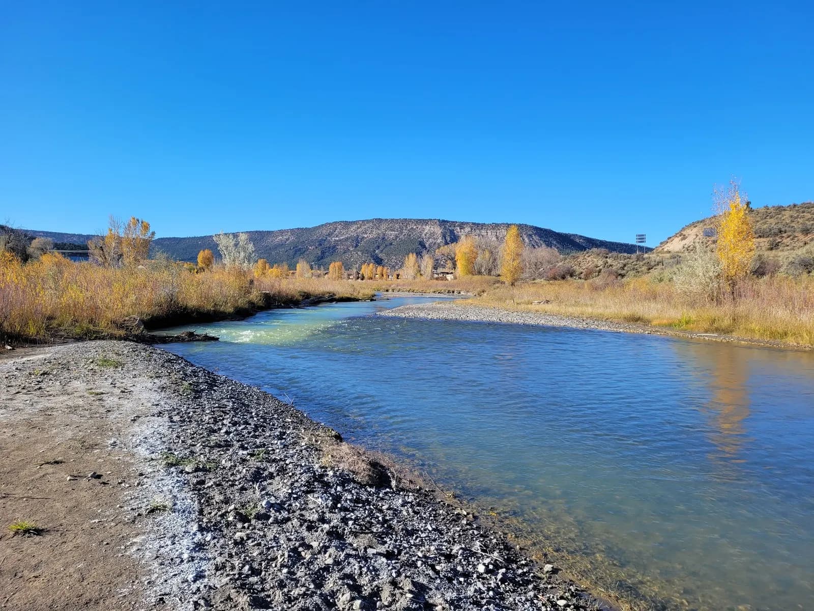
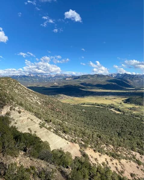
The Escarpment Trail is a 2-mile, easy-rated hiking loop located in Ridgway, Colorado, on the Western Slope. Starting at an elevation of approximately 6,971 feet, the trail winds through a residential development and along the edge of a mesa top. The route is well-maintained, though sections near the escarpment edge become slightly rockier. Hikers traverse paved road crossings and pass private property markers, with houses visible along the path. The trail follows the border of a golf course and enters nearby forested areas as it turns northward. Key features include unobstructed views of the San Juan Mountains and the Uncompahgre River valley to the south. Wildlife sightings, particularly deer and elk, are common. The trail is open year-round and offers parking at the trailhead near Loghill Village, with additional capacity available at the nearby Log Hill Firehouse. The typical duration for completion is about one hour, making it suitable for families and casual hikers seeking minimal elevation gain.
Trail profile
Gain
102 ft
Avg grade
1%
Steepest
1%
High point
7,077 ft
Good to know
Parking at the trailhead
Waypoints
Latest trail reportgood
Trail is in good condition. No significant obstacles or hazards reported.
Reported Mar 2, 2025Verified
What people say
Reviews
No reviews yet
Been here? Help the next person out.
Within 30 miles