Hiking · Gunnison, CO
Flag Creek
Before you go
Live · nearest station Gunnison, 3 miStorms build later today. Plan an early finish.
Chance of Rain
Feels like 47°
Storm chance
56% tonight
Wind
5 mph ENE
Distance
3mi round trip
Elevation gain
253ft
High point
8,176ft
Season
Jan - Dec
About
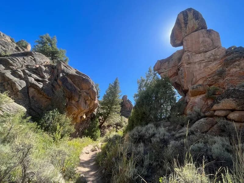
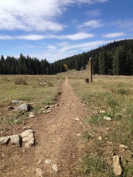
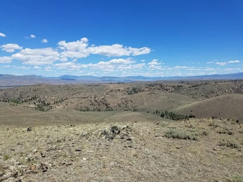
Flag Creek Trail is a 3.5-mile dirt road and trail in Gunnison National Forest, located near Gunnison and Almont, Colorado. The route begins at Forest Road 744.3 and ends at Forest Road 759, covering an elevation range from 10,144 feet to 11,138 feet with a total elevation gain of approximately 993 feet. The trail surface consists primarily of dirt, with a quarter-mile section classified as a two-track road. It is managed by the USFS Gunnison Ranger District and allows hiking, mountain biking, horseback riding, and motorcycle riding. Dogs are permitted, but ATVs are not. The trail is accessible year-round, though conditions vary by season. Parking is available at the trailhead. The moderate difficulty and 3.5-mile length typically result in a duration of about two hours for hikers.
Trail profile
Gain
253 ft
Avg grade
2%
Steepest
3%
High point
8,176 ft
Good to know
Parking at the trailhead
Waypoints
Latest trail reportgood
Trail is in good condition. No significant obstacles or hazards reported.
Reported Mar 2, 2025Verified
What people say
Reviews
No reviews yet
Been here? Help the next person out.
Within 30 miles