Hiking · Grand Mesa, CO
Flowing Park Loop
Before you go
Live · nearest station Delta County, 21 miGood window today.
Cloudy
Feels like 61°
Trailhead temp
42° est. at 10,161 ft
Storm chance
17% tonight
Wind
5 mph ESE
Distance
14.9mi round trip
Elevation gain
2,130ft
High point
10,161ft
Season
Jan - Dec
About
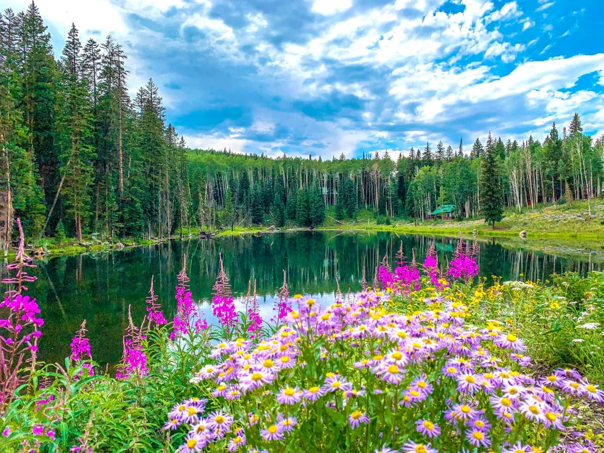
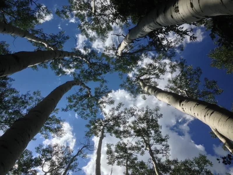
The Flowing Park Loop is a 14.7 to 14.9-mile hiking trail located on the southwest rim of Grand Mesa, near Grand Junction, Colorado. The trailhead is accessed by turning off Highway 65 onto Lands End Road, then taking the first left onto Flowing Park Road (109), which leads to Flowing Park Reservoir. Parking is available at the reservoir. The route is generally considered moderate to difficult, with a total length of approximately 14.9 miles and an elevation of 10,161 feet. Typical completion time is around 8 hours, though some sources suggest shorter durations for mountain biking or faster paces. The terrain consists primarily of singletrack and sections of old jeep trails, with a relatively flat profile on the mesa's southwest corner. The trail offers panoramic views of the Grand Junction, Delta, and Cedaredge valleys, as well as distant peaks like Sneffels and the La Sal Mountains. Natural features include expansive meadows, pine and aspen groves, and Flowing Park Reservoir itself. The trail is open year-round but is best visited from June through September for clear conditions; winter brings snow and ice. Dogs are permitted, and no entrance fee or specific permit is required for day hiking within the Grand Mesa National Forest.
Trail profile
Gain
2,130 ft
Avg grade
3%
Steepest
8%
High point
10,161 ft
Good to know
Parking at the trailhead
Waypoints
Latest trail reportgood
Trail is in good condition. No significant obstacles or hazards reported.
Reported Mar 2, 2025Verified
What people say
Reviews
No reviews yet
Been here? Help the next person out.
Within 30 miles