Hiking · Glenwood Springs, CO
Glenwood Canyon Flyer
Before you go
Live · nearest station Glenwood Springs, 1 miGood window today.
Cloudy
Feels like 58°
Storm chance
13% tonight
Wind
5 mph ENE
Roaring Fork at Glenwood Springs is running 434 cfs, water 58°.
Distance
—
Elevation gain
—
High point
7,129ft
Season
Jan - Dec
About
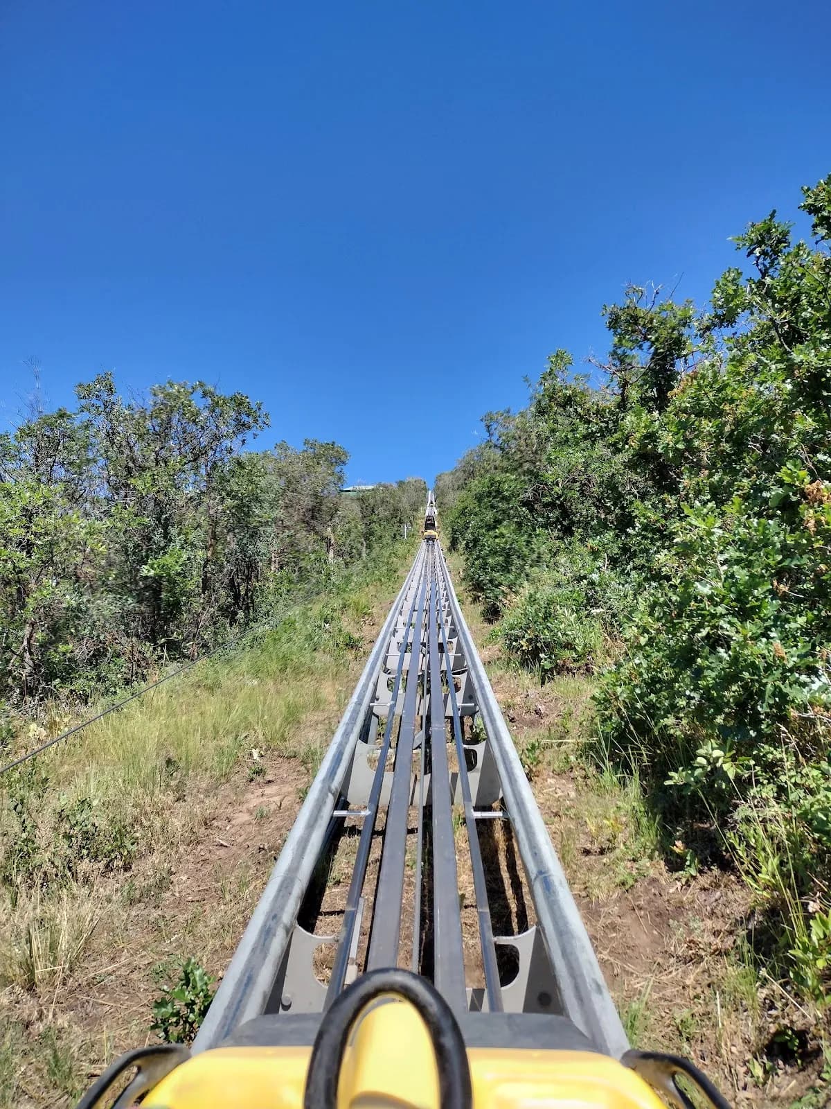
The Glenwood Canyon Flyer is a moderate hiking trail located in Glenwood Springs, Colorado, on the Western Slope. The trail sits at an elevation of 7,129 feet and typically takes about two hours to complete. Parking is available for hikers, and the route is pet-friendly. The trail is accessible year-round, running from January through December. While specific terrain details are not extensively documented in available sources, the trail is classified as moderately challenging with varying terrain.
Trail profile
Gain
—
Avg grade
—
Steepest
—
High point
7,129 ft
Good to know
Parking at the trailhead
Dogs allowed on leash
Waypoints
No waypoints mapped for this trail yet.
What people say
Reviews
No reviews yet
Been here? Help the next person out.
Within 30 miles