Hiking · Grand Mesa, CO
Grand Mesa Crag Crest Loop
Before you go
Live · nearest station Delta County, 21 miGood window today.
Mostly Cloudy
Feels like 56°
Trailhead temp
37° est. at 10,361 ft
Storm chance
9% overnight
Wind
5 mph E
Distance
10.9mi round trip
Elevation gain
2,238ft
High point
10,706ft
Season
Jan - Dec
About
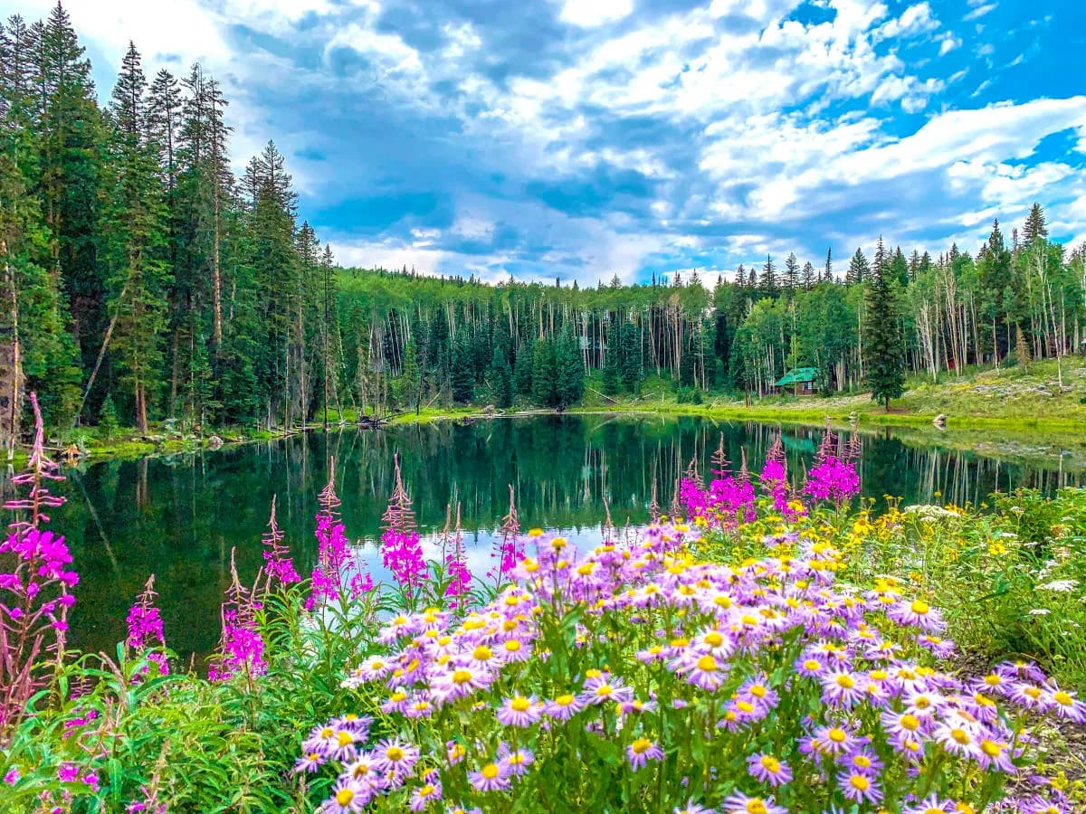
The Grand Mesa Crag Crest Loop is a strenuous, approximately 10.9-mile hiking trail located in Grand Mesa National Forest, roughly one hour east of Grand Junction. The route climbs to a high-elevation ridgeline, reaching a summit near 11,189 feet, offering panoramic views of the Book Cliffs, Roan Cliffs, West Elk Range, and San Juan Mountains on clear days. The trail is non-technical but involves significant elevation gain and exposure. Hikers can access the loop from either the West Trailhead (near Island Lake) or the East Trailhead (adjacent to Eggleston Lake). The upper crest section is restricted to foot traffic only, while the lower loop sections allow horses and bicycles. Water sources are limited; the previous wellhead has been dismantled, and the USFS requires chlorination of remaining sources, so hikers should carry sufficient water. The trail is best hiked from late June through September, though snow can linger at higher elevations. Afternoon thunderstorms are common, so an early start is recommended. Parking is available at designated trailheads.
Trail profile
Gain
2,238 ft
Avg grade
4%
Steepest
7%
High point
10,706 ft
Good to know
Parking at the trailhead
Waypoints
Latest trail reportgood
Trail is in good condition. No significant obstacles or hazards reported.
Reported Mar 2, 2025Verified
What people say
Reviews
No reviews yet
Been here? Help the next person out.
Within 30 miles