Hiking · Grand Junction, CO
Grand Valley OHV Recreation Area
Before you go
Live · nearest station Grand Junction, 7 miGood window today.
Mostly Cloudy
Feels like 66°
Storm chance
5% tonight
Wind
5 mph E
Gunnison River near Grand Junction is running 1,150 cfs, water 65°.
Distance
—
Elevation gain
—
High point
4,951ft
Season
Jan - Dec
About
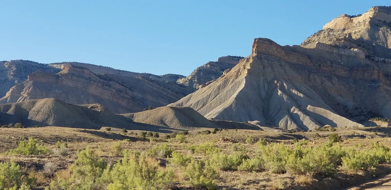
The Grand Valley OHV Recreation Area in Grand Junction, Colorado, offers moderate hiking across approximately 15 square miles of desert-like terrain. Located northeast of the Grand Junction Regional Airport, the area is bounded by 27 1/4 Road to the west and the Little Book Cliffs to the northeast. The landscape features barren hills of Mancos shale, providing a mix of smooth double track and rugged singletrack with numerous hill climbs. Hikers share the space with off-highway vehicles, including ATVs and motorcycles, so yielding to motorized traffic is necessary. The area is open year-round with no entrance or camping fees, though services are limited and primitive camping can be noisy. Parking is available, and dogs are permitted. Typical hikes last around two hours at an elevation of 4,951 feet.
Trail profile
Gain
—
Avg grade
—
Steepest
—
High point
4,951 ft
Good to know
Parking at the trailhead
Dogs allowed on leash
Waypoints
No waypoints mapped for this trail yet.
What people say
Reviews
No reviews yet
Been here? Help the next person out.
Within 30 miles
Nearby spots