Fall Hiking · Delta, CO
Gunnison Forks River Trail
Before you go
Live · nearest station Delta County, 9 miGood window today.
Cloudy
Feels like 64°
Trailhead temp
58° est. at 6,707 ft
Storm chance
17% tonight
Wind
5 mph SSE
Distance
—
Elevation gain
—
High point
6,707ft
Season
Sep - Novin season
About
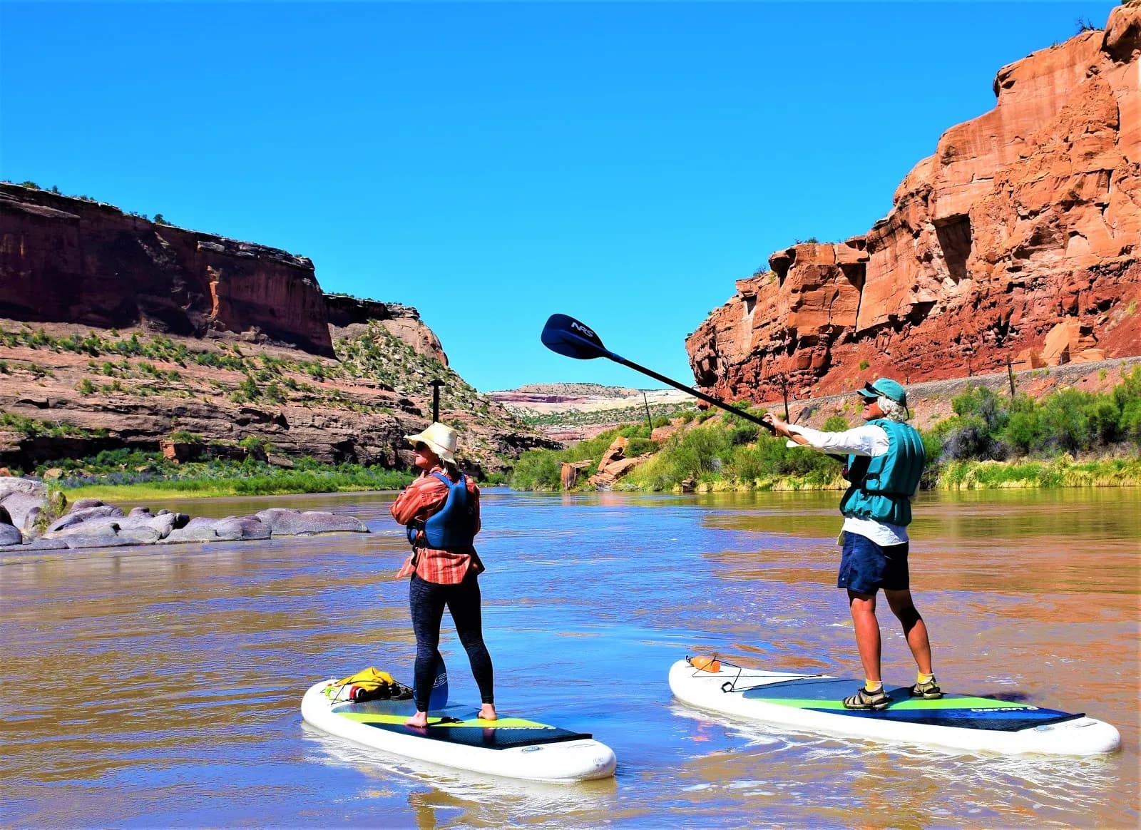
The Gunnison Forks River Trail, also known as the West River Trail, is a moderate hiking route located in the Gunnison Gorge National Conservation and Wilderness Area near Delta, Colorado. The trail begins at the end of South River Road, near the confluence of the Gunnison and North Fork of the Gunnison Rivers. It follows the west bank of the Gunnison River through the gorge, offering access to a Gold Medal trout fishery. The route is approximately 3 to 4 miles long and typically takes about two hours to complete. Hikers can expect easy to moderate terrain, though the path includes sections along an old jeep road and spurs leading down to the river across irrigation ditches. The official trail end is marked by the ruins of an old stone building at roughly 1.5 miles, though hikers may continue further. Parking is available at the trailhead, and pets are permitted. The best time for hiking is from September through November. Cell service is limited to zero bars along the route.
Trail profile
Gain
—
Avg grade
—
Steepest
—
High point
6,707 ft
Good to know
Parking at the trailhead
Restrooms available
Dogs allowed on leash
Waypoints
No waypoints mapped for this trail yet.
What people say
Reviews
No reviews yet
Been here? Help the next person out.
Within 30 miles
Nearby spots
Wolf Ranch Park Trailhead