Hiking · Gunnison, CO
Gunnison Route
Before you go
Live · nearest station Gunnison, 1 miStorms build later today. Plan an early finish.
Thunderstorms
Feels like 58°
Storm chance
57% tonight
Wind
5 mph N
Distance
0.62mi round trip
Elevation gain
4ft
High point
7,684ft
Season
Jan - Dec
About
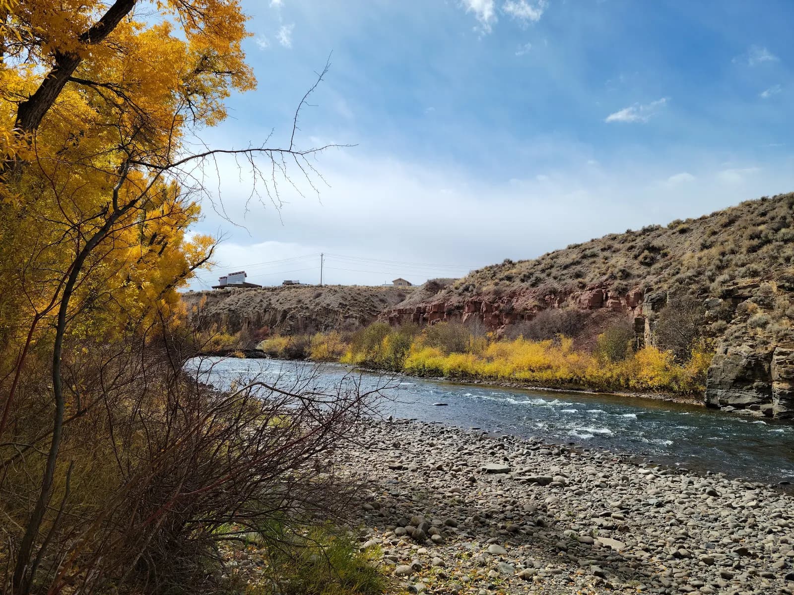
The Gunnison Route is a strenuous, unmaintained inner canyon descent in Black Canyon of the Gunnison National Park, located on the South Rim near Montrose. It connects the rim at approximately 8,103 feet to the Gunnison River at roughly 6,344 feet. The trail is characterized by loose gravel, scree, and boulders, requiring careful footing and pathfinding skills. Hikers descend to the river and hike back up, a process that is physically demanding due to the steep gradient and loose terrain. The route is classified as difficult or hard. A key feature is a long chain installed about one-third of the way down to assist with the descent. Access requires a Wilderness Permit, with a limit of 15 people per day and a fee of $6. Parking is available at the South Rim trailhead. The trail is subject to seasonal closures, such as the wildfire closure noted for July 2025.
Trail profile
Gain
4 ft
Avg grade
0%
Steepest
0%
High point
7,684 ft
Good to know
Parking at the trailhead
Waypoints
Latest trail reportgood
Trail is in good condition. No significant obstacles or hazards reported.
Reported Mar 2, 2025Verified
What people say
Reviews
No reviews yet
Been here? Help the next person out.
Within 30 miles