Mountain Biking · Rifle, CO
Haze
Before you go
Live · nearest station Glenwood Springs, 24 miGood window today.
Partly Sunny
Feels like 64°
Storm chance
3% afternoon
Wind
5 mph WSW
Distance
—
Elevation gain
—
High point
5,348ft
Season
Apr - Octin season
About
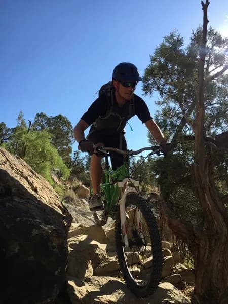
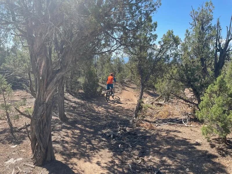
Haze is a short, moderate-difficulty singletrack mountain biking trail in Rifle, Colorado. Located on the Western Slope at 5,347 feet elevation, it serves as a convenient starting point for riders exploring the area's broader trail network. The trail covers approximately 0.2 miles with a ground surface and is designated as a blue or green circle route depending on the mapping source. It allows for uphill riding and typically takes between one to two minutes to complete, making it suitable for quick rides or warm-ups. Parking is available at the trailhead, and pets are permitted. The recommended riding season extends from April through October. Rifle is recognized as a mountain biking hub with extensive mapped trail coverage, and Haze integrates into this system via platforms like Trailforks, RidePal, and MTB Project. Current weather data indicates dry conditions with moderate temperatures, supporting good trail riding surfaces.
Trail profile
Gain
—
Avg grade
—
Steepest
—
High point
5,348 ft
Good to know
Parking at the trailhead
Dogs allowed on leash
Waypoints
Latest trail reportfair
Spring conditions. Trail may be muddy after recent rain. Check trail status before riding.
Reported Mar 2, 2025Verified
What people say
Reviews
No reviews yet
Been here? Help the next person out.
Within 30 miles