Hiking · Durango, CO
Hogsback
Before you go
Live · nearest station Durango, 0 miFlood Warning is active nearby. Sit this one out and check back before you head up.
Thunderstorms
Feels like 44°
Wind
10 mph SSE
UV index
0 low
Sun window
6:36 am to 5:13 pm
Animas River at Durango is running 1,990 cfs and rising, water 46°.
Distance
1.06mi round trip
Elevation gain
13ft
High point
6,545ft
Season
Jan - Dec
About
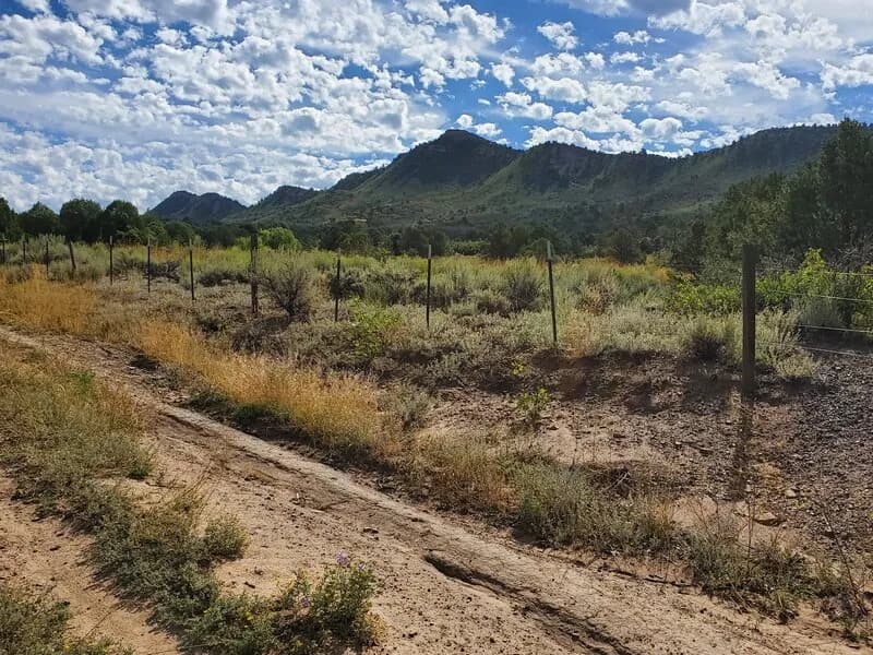
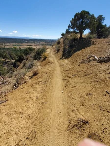
The Hogsback is a steep, 1.1-mile hike in Overend Mountain Park, Durango, offering significant elevation gain and views of the Animas Valley. The trail is primarily used for hiking, with biking permitted on the lower sections but prohibited at the summit. Access is available from multiple trailheads, including Leyden Street, Perin’s Gulch, and Hogsfoot. The route is known for its continuous steep incline and loose soil, requiring caution when wet. While the database lists a total elevation gain of 2,261 feet, user reports and specific trail descriptions cite a gain of nearly 700 feet for the main ascent. The trail is open year-round, though April through October sees the most traffic. Parking is available at designated street-side locations.
Trail profile
Gain
13 ft
Avg grade
0%
Steepest
0%
High point
6,545 ft
Good to know
Parking at the trailhead
Waypoints
Latest trail reportgood
Trail is in good condition. No significant obstacles or hazards reported.
Reported Mar 2, 2025Verified
What people say
Reviews
No reviews yet
Been here? Help the next person out.
Within 30 miles