Hiking · Durango, CO
Horse Gulch Road Connector
Before you go
Live · nearest station Durango, 0 miGood window today. Daylight to 6:28 pm.
Thunderstorms
Feels like 51°
Storm chance
37% tonight
Wind
5 mph NNE
UV index
0 low
Sun window
7:23 am to 6:28 pm
Animas River at Durango is running 1,170 cfs and falling, water 49°.
Distance
—
Elevation gain
—
High point
6,534ft
Season
Jan - Dec
About
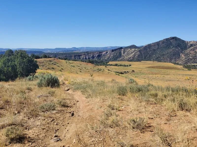
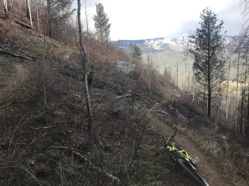
The Horse Gulch Road Connector is a difficult hiking route in Durango, Colorado, situated at an elevation of 6,534 feet. It functions as a rocky access road linking the town to the broader Horse Gulch/Telegraph Trail System. The trail is open year-round, from January to December, and offers parking for visitors. Hikers encounter steep inclines and uneven, often dusty terrain as they ascend toward the meadow area. The route connects to various other trails, including the Meadow Loop and routes leading to Pautsky Point. It is a local favorite for both hiking and mountain biking, accommodating users of different skill levels despite its challenging climb. The trailhead is accessible via a small free parking lot off 8th Avenue and 3rd Street.
Trail profile
Gain
—
Avg grade
—
Steepest
—
High point
6,534 ft
Good to know
Parking at the trailhead
Waypoints
Latest trail reportgood
Spring conditions with some muddy sections. Trail is generally in good shape.
Reported Mar 2, 2025Verified
What people say
Reviews
No reviews yet
Been here? Help the next person out.
Within 30 miles