Hiking · Ouray, CO
Horsethief Trail
Before you go
Live · nearest station Telluride, 11 miStorms build later today. Plan an early finish.
Chance of Rain
Feels like 45°
Trailhead temp
51° est. at 7,559 ft
Storm chance
50% tonight
Wind
5 mph ESE
Distance
12.3mi round trip
Elevation gain
3,776ft
High point
11,010ft
Season
Jan - Dec
About
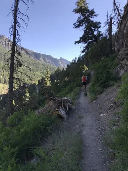
The Horsethief Trail is a strenuous, 12.3-mile hiking route located near Ouray, Colorado, on the Western Slope. Starting from the Dexter Creek Trailhead north of town, the trail ascends to a high elevation of 12,673 feet with approximately 3,000 feet of vertical gain. The route is classified as difficult or black diamond and typically requires about eight hours to complete. Much of the trail travels above treeline along a narrow ridge, offering panoramic views of the Cimarron and Sneffels Ranges. The trailhead is accessible via a gravel road off Highway 550, though four-wheel drive vehicles are often required to cross Dexter Creek and navigate the final stretch of rough road. Hikers should plan for afternoon thunderstorms at these altitudes and be aware of potential altitude sickness. Water is available from Cascade Creek, and the trail features dense mixed forests of aspens and evergreens before opening to alpine meadows.
Trail profile
Gain
3,776 ft
Avg grade
6%
Steepest
12%
High point
11,010 ft
Good to know
Parking at the trailhead
Waypoints
Latest trail reportgood
Trail is in good condition. No significant obstacles or hazards reported.
Reported Mar 2, 2025Verified
What people say
Reviews
No reviews yet
Been here? Help the next person out.
Within 30 miles