Hiking · Aspen, CO
Hunter Creek Trail
Before you go
Live · nearest station Aspen, 0 miGood window today.
Partly Sunny
Feels like 64°
Storm chance
8% afternoon
Wind
5 mph NW
Distance
7.7mi round trip
Elevation gain
613ft
High point
8,977ft
Season
Jan - Dec
About
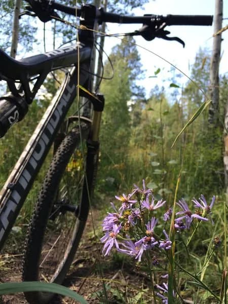
The Hunter Creek Trail is a moderate, 7.7-mile out-and-back hike located in Aspen, Colorado, starting near downtown. The trail begins with a steep, rocky incline of approximately 700 feet in the first mile before leveling out. It parallels Hunter Creek, crossing several small bridges and passing through aspen groves and coniferous forests. The route offers views of Aspen Mountain and dead-ends near the Hunter-Frying Pan Wilderness boundary. Parking is available at the trailhead, with an additional access point on Red Mountain. The trail is open year-round and is popular for hiking, running, and mountain biking. Wildlife sightings include deer, elk, moose, and bear. The typical duration is about four hours.
Trail profile
Gain
613 ft
Avg grade
2%
Steepest
2%
High point
8,977 ft
Good to know
Parking at the trailhead
Waypoints
Latest trail reportgood
Trail is in good condition. No significant obstacles or hazards reported.
Reported Mar 2, 2025Verified
What people say
Reviews
No reviews yet
Been here? Help the next person out.
Within 30 miles