Mountain Biking · Aspen, CO
Incline Trail
Before you go
Live · nearest station Aspen, 0 miGood window today.
Partly Sunny
Feels like 48°
Wind
0 mph
Distance
2.2mi round trip
Elevation gain
617ft
High point
8,449ft
Season
Apr - Octpeak now
About
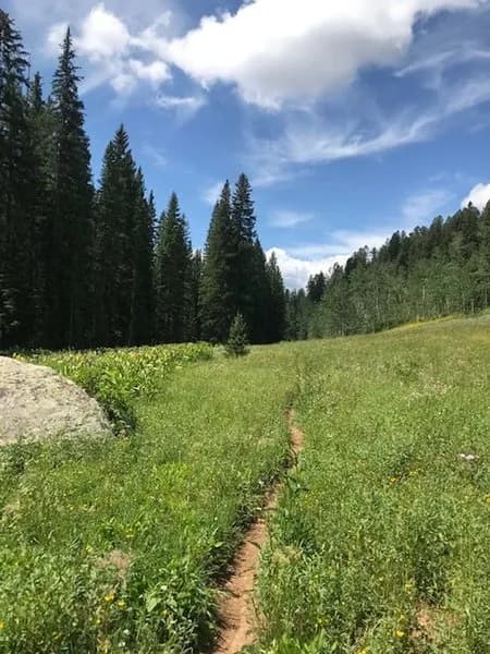
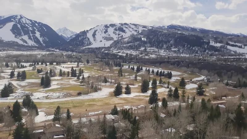
The Incline Trail is a 2.2-mile mountain biking route in Aspen, Colorado, connecting the town to Sky Mountain Park. Built in 2022, it serves as an uphill-only path for bicycles, allowing the adjacent Airline Trail to function as a downhill route. The trail maintains an elevation of approximately 8,450 feet and offers moderate difficulty with a consistent climb. Riders typically complete the segment in about one hour. The trail is open from April through October, with specific seasonal wildlife closures often restricting access between December 1 and May 15. Dogs are generally permitted, though some sources note restrictions during wildlife closure periods or when E-bikes are excluded. Parking is available near the trailhead. The surface varies from hero dirt to dusty conditions depending on recent moisture and traffic. At the top, riders can connect westward via Skyline Ridge Trail or descend toward Aspen using Cozyline and Airline Trails. Views of the Owl Creek drainage, Aspen, and Independence Pass are visible along the upper sections.
Trail profile
Gain
617 ft
Avg grade
5%
Steepest
7%
High point
8,449 ft
Good to know
Parking at the trailhead
Dogs allowed on leash
Waypoints
Latest trail reportgood
Trail is in good condition. Traction is good with minimal obstacles.
Reported Mar 2, 2025Verified
What people say
Reviews
No reviews yet
Been here? Help the next person out.
Within 30 miles