Rock Climbing · Ouray, CO
Jay's Route AKA Deadpoint
Before you go
Live · nearest station Telluride, 13 miStorms build later today. Plan an early finish.
Chance of Rain
Feels like 44°
Trailhead temp
41° est. at 10,128 ft
Storm chance
50% tonight
Wind
5 mph ESE
Distance
—
Elevation gain
56ft
High point
10,161ft
Season
Jan - Dec
About
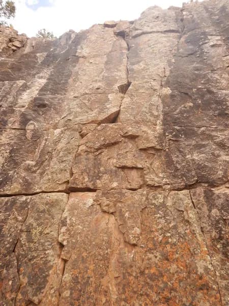
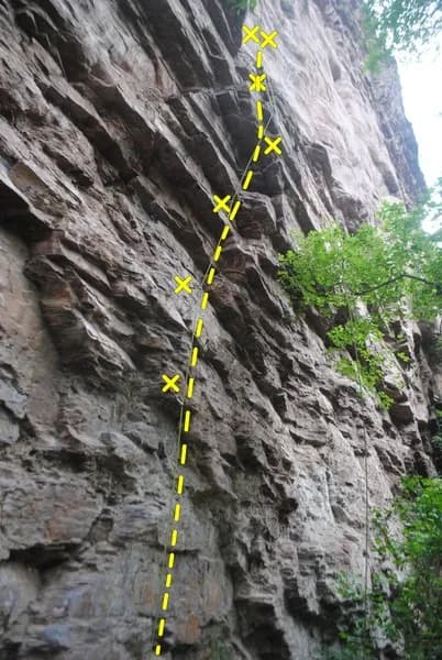
Jay's Route, also known as Deadpoint, is a 70-foot sport climbing route located on the Guides' Wall in Ouray, Colorado. The route is bolted and rated difficult. Access begins at the base of the wall, starting in front and to the right of a large Douglas fir. Climbers must stay on the designated approach trail, as the property owner requests that visitors do not venture onto the private road or other parts of the adjacent property. The climb features black bolt hangers, with specific caution advised when clipping the second bolt. Parking is available near the base. The route is pet-friendly. While general listings suggest year-round accessibility, local conditions and fire evacuations may affect access. The route is considered a good warm-up climb.
Trail profile
Gain
56 ft
Avg grade
—
Steepest
—
High point
10,161 ft
Good to know
Parking at the trailhead
Dogs allowed on leash
Waypoints
Latest trail reportgood
Spring climbing conditions. Route may be wet after rainfall. Check weather forecast before climbing.
Reported Mar 3, 2025Verified
What people say
Reviews
No reviews yet
Been here? Help the next person out.
Within 30 miles