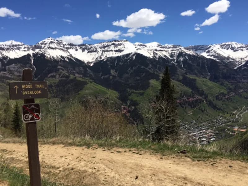
Fall Hiking · Telluride, CO
Keystone Gorge Loop Trailhead
Before you go
Live · nearest station Telluride, 4 miStorms build later today. Plan an early finish.
Thunderstorms
Feels like 54°
Storm chance
58% tonight
Wind
5 mph NE
UV index
0.1 low
Sun window
7:00 am to 7:06 pm
Distance
—
Elevation gain
—
High point
8,684ft
Season
Sep - Novin season
About
The Keystone Gorge Loop Trailhead is a moderate, approximately 1.8 to 2.3-mile loop located in Telluride, Colorado, on the Western Slope. The trail follows the San Miguel River through a gorge and connects to the Galloping Goose Trail system between Lawson Hill and Two Rivers. Hikers typically complete the circuit in about one hour to two hours, with an average time of 72 minutes. The route features a series of waterfalls and mining remains, including two newly built bridges spanning the river. The trailhead offers parking in a designated dirt lot and nearby spaces at the Telluride Mountain School. Restrooms are available. The moderate difficulty suggests uneven terrain and elevation changes suitable for a reasonable level of physical fitness. Access is best from September through November, though the trail remains popular for birding and running during summer months. While some sources indicate pets are permitted, others note restrictions due to a wildlife corridor, so checking current status is advisable.
Trail profile
Gain
—
Avg grade
—
Steepest
—
High point
8,684 ft
Good to know
Parking at the trailhead
Restrooms available
Dogs allowed on leash
Waypoints
No waypoints mapped for this trail yet.
What people say
Reviews
No reviews yet
Been here? Help the next person out.
Within 30 miles