Hiking · Fruita, CO
Kokopelli Trail
Before you go
Live · nearest station Grand Junction, 10 miGood window today. Daylight to 7:10 pm.
Mostly Cloudy
Feels like 76°
Storm chance
5% tonight
Wind
5 mph WSW
UV index
0 low
Sun window
7:03 am to 7:10 pm
Distance
139.25mi round trip
Elevation gain
2,382ft
High point
6,978ft
Season
Jan - Dec
About
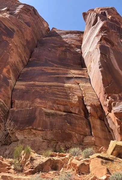
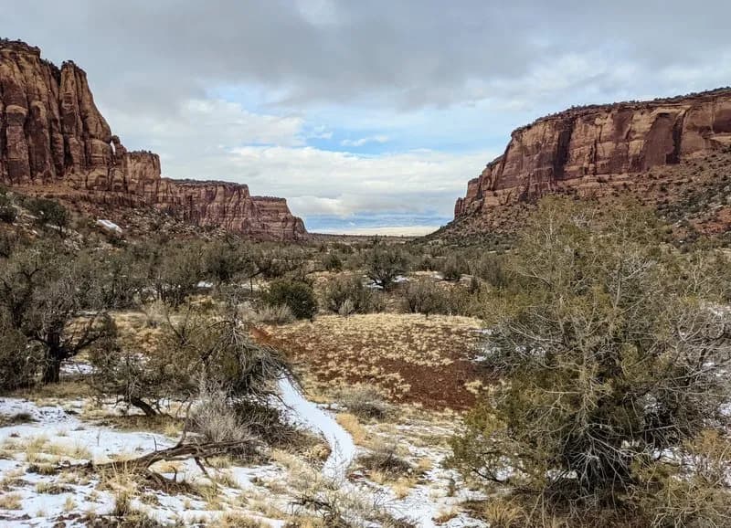
The Kokopelli Trail is a long-distance multi-use route connecting Fruita and Loma in Western Colorado to Moab, Utah. The trail spans approximately 142 to 146 miles and is generally considered challenging. It follows Bureau of Land Management land, utilizing singletrack trails, Jeep roads, and dirt roads with some paved sections. The route runs through high desert mesas above the Colorado River corridor, featuring red and tan rock, sparse vegetation, and exposed terrain with limited shade. While primarily used for mountain biking, the trail is open to hiking. Parking is available at multiple access points, including a main lot near Saddle Up and pull-outs along Lion's. The trail is open year-round, though conditions vary from hot summers to cold winters. Water caching or carrying water is often necessary for self-supported travel, as natural water sources are not always reliable. The difficulty level requires intermediate fitness and technical ability, with long stretches of rugged desert riding.
Trail profile
Gain
2,382 ft
Avg grade
0%
Steepest
1%
High point
6,978 ft
Good to know
Parking at the trailhead
Waypoints
Latest trail reportgood
Trail is in good condition. No significant obstacles or hazards reported.
Reported Mar 2, 2025Verified
What people say
Reviews
No reviews yet
Been here? Help the next person out.
Within 30 miles