Hiking · Gunnison, CO
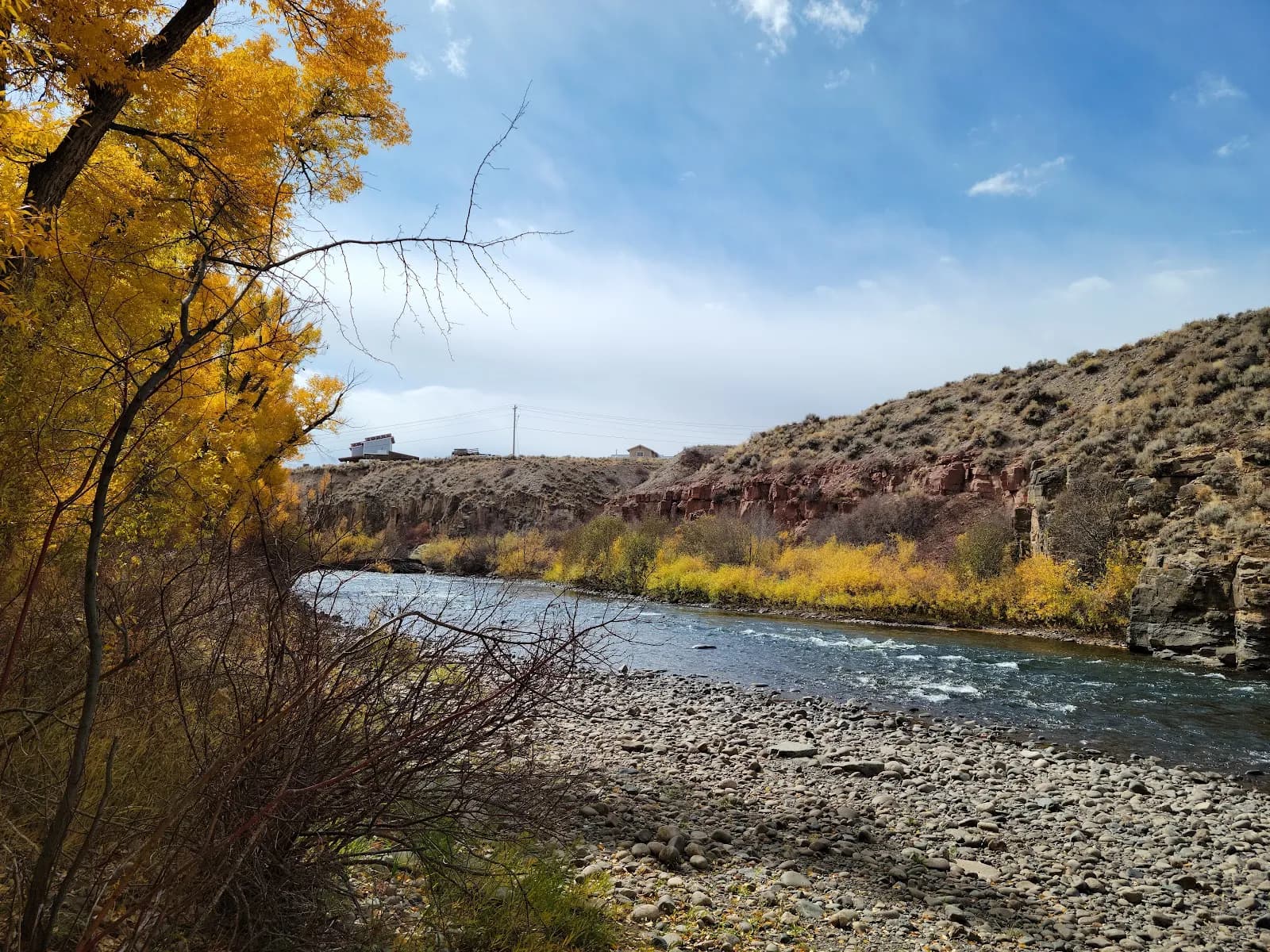
Lake Fork of the Gunnison River- Gateview Canyon Road
Before you go
Live · nearest station Gunnison, 2 miStorms build later today. Plan an early finish.
Rain Showers Likely
Feels like 46°
Storm chance
56% overnight
Wind
0 mph
Distance
4.9mi round trip
Elevation gain
235ft
High point
7,775ft
Season
Jan - Dec
About
The Lake Fork of the Gunnison River-Gateview Canyon Road trail is a 4.9-mile point-to-point hike along County Road 64 in Gunnison, Colorado. The route follows an improved dirt road parallel to the river, starting from the Lake Fork Cutoff Road and heading north through Gateview Canyon. The terrain is flat with an elevation of 7,775 feet, classified as easy. The trail takes approximately two hours to complete. Established restrooms are available along the road. The area supports fly fishing, with the river stocked with brown trout, rainbow trout, and fall kokanee salmon. Drivers should watch for vehicles on the road. Parking is available at the trailhead.
Trail profile
Gain
235 ft
Avg grade
1%
Steepest
1%
High point
7,775 ft
Good to know
Parking at the trailhead
Restrooms available
Waypoints
Latest trail reportgood
Trail is in good condition. No significant obstacles or hazards reported.
Reported Mar 2, 2025Verified
What people say
Reviews
No reviews yet
Been here? Help the next person out.
Within 30 miles