Fall Hiking · Durango, CO
Lavishe Trail
Before you go
Live · nearest station Durango, 1 miGood window today.
Chance of Rain
Feels like 53°
Storm chance
30% overnight
Wind
0 mph
Distance
—
Elevation gain
—
High point
6,842ft
Season
Sep - Novin season
About
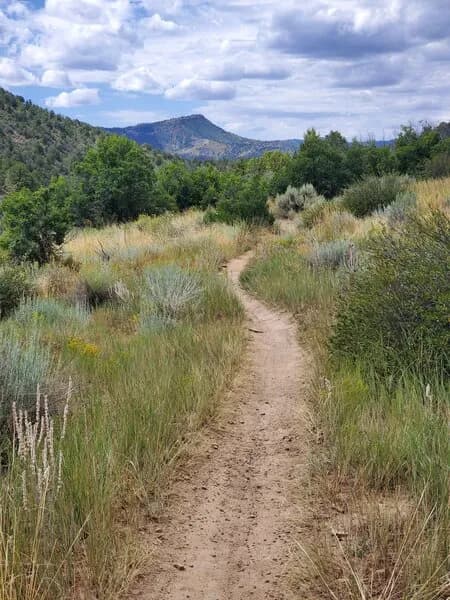
The Lavishe Trail is a moderate hiking route in Durango, Colorado, situated at an elevation of 6,842 feet. It serves as a fall hiking destination, typically accessible from September through November. The trail covers approximately 2 hours of hiking time. Parking is available at the trailhead, and the route allows pets. While some sources note the area is popular for biking and events like Durango Devo, the primary use described is hiking. Restrooms are listed as available at the trailhead in some descriptions, though parking availability is noted as limited in other sources. The trail is located within the San Juan Mountains near Durango.
Trail profile
Gain
—
Avg grade
—
Steepest
—
High point
6,842 ft
Good to know
Parking at the trailhead
Restrooms available
Dogs allowed on leash
Waypoints
No waypoints mapped for this trail yet.
What people say
Reviews
No reviews yet
Been here? Help the next person out.
Within 30 miles